Zaozhuang night lights from space
Night Light of Zaozhuang (Shandong) from space (China) Src. Average luminocity for 10x10km area is 59.3388% and for 50x50km: 8.0561%.
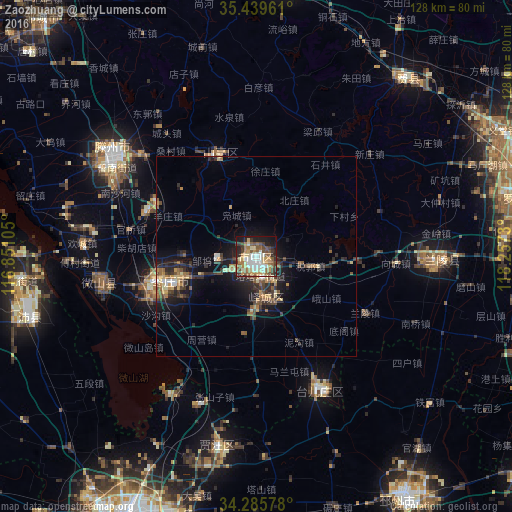
Analysis of Zaozhuang night lights 2016
Square area 10x10 km:
 9.89%
9.89%90-99
11.9%80-89
9.71%70-79
8.42%60-69
10.81%50-59
10.99%40-49
8.06%30-39
7.69%20-29
8.97%10-19
12.64%0-9
0.92%Square area 50x50 km:
0.59%90-99
0.79%80-89
1.05%70-79
0.98%60-69
1.36%50-59
1.42%40-49
1.22%30-39
1.78%20-29
2.7%10-19
5.98%0-9
82.14%Clear (daylight) street map image can be seen on geolist.org.
Map coordinates:
35° 26' 22.6" North, 116° 51' 3.8" East
34° 51' 53" North, 117° 33' 15" East
34° 17' 8.8" North, 118° 15' 26.3" East
Some cities around Zaozhuang sort by population:
• Xiazhen
41 km =25.5 mi,  260°
260°
• Chengtangcun
41.1 km =25.5 mi,  306°
306°
• Pizhou
71.4 km =44.4 mi,  149°
149°
• Feicheng
57.9 km =36 mi,  40°
40°
• Shanting
25 km =15.5 mi,  339°
339°
• Pingyi
71 km =44.1 mi,  5°
5°
• Bianzhuang
44.8 km =27.8 mi,  92°
92°
• Taozhuang
20.2 km =12.6 mi,  265°
265°
1785453 (p: 183,665)
Sources (retrieved 2019-11-25):
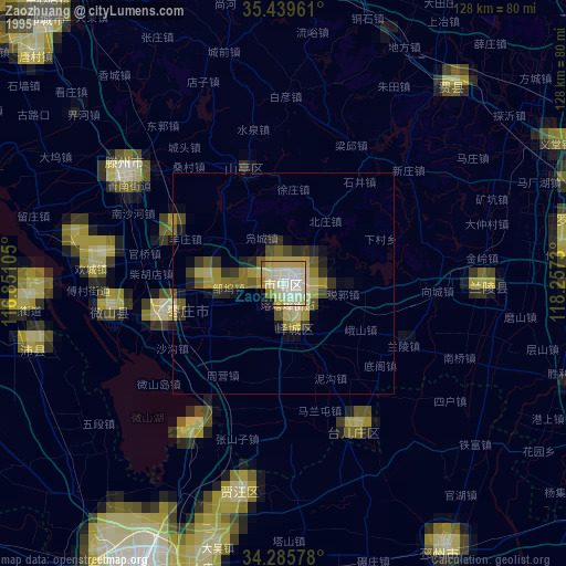
» NASA, Earths city lights 1995
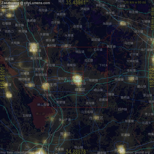
» NASA city lights 2003
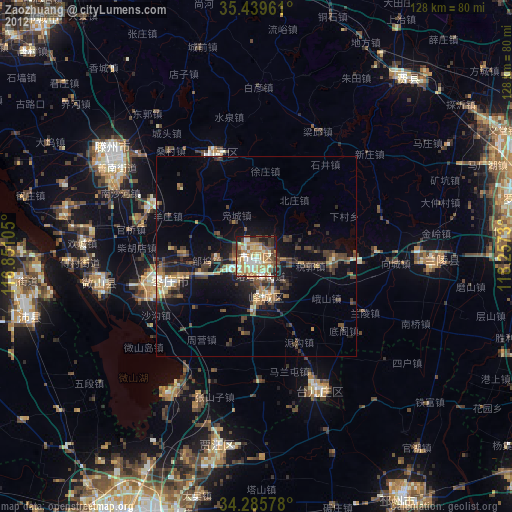
» Earth at Night: Flat Maps 2012, 2016