Mengyin night lights from space
Night Light of Mengyin (Shandong) from space (China) Src. Average luminocity for 10x10km area is 23.5699% and for 50x50km: 4.1106%.
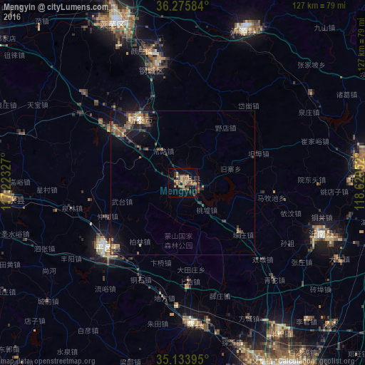
Analysis of Mengyin night lights 2016
Square area 10x10 km:
 0%
0%90-99
0%80-89
1.92%70-79
6.64%60-69
4.55%50-59
8.22%40-49
3.67%30-39
4.9%20-29
5.24%10-19
16.61%0-9
48.25%Square area 50x50 km:
0.07%90-99
0.12%80-89
0.42%70-79
0.66%60-69
0.9%50-59
1.08%40-49
0.79%30-39
0.97%20-29
1.15%10-19
3.24%0-9
90.58%Clear (daylight) street map image can be seen on geolist.org.
Map coordinates:
36° 16' 33" North, 117° 13' 23.8" East
35° 42' 25" North, 117° 55' 35" East
35° 8' 2.2" North, 118° 37' 46.3" East
Some cities around Mengyin sort by population:
• Xintai
26.7 km =16.6 mi,  323°
323°
• Laiwu
59.2 km =36.8 mi,  335°
335°
• Sishui
59.1 km =36.7 mi,  263°
263°
• Feicheng
49.8 km =30.9 mi,  175°
175°
• Pingyi
35.2 km =21.9 mi,  229°
229°
• Nanma
57 km =35.4 mi,  21°
21°
• Dongdu
25.9 km =16.1 mi,  307°
307°
• Jiehu
51.1 km =31.8 mi,  110°
110°
1800675 (p: 65,889)
Sources (retrieved 2019-11-25):
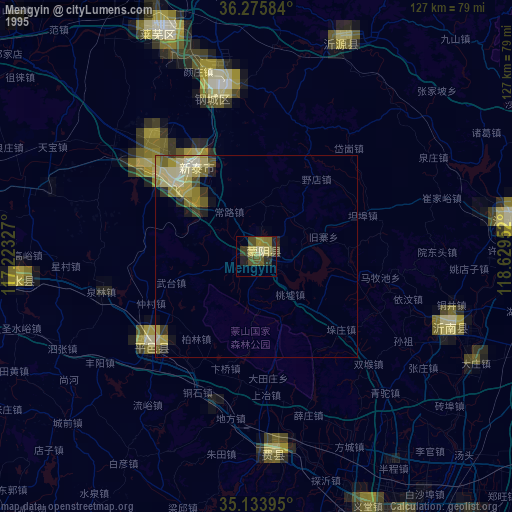
» NASA, Earths city lights 1995
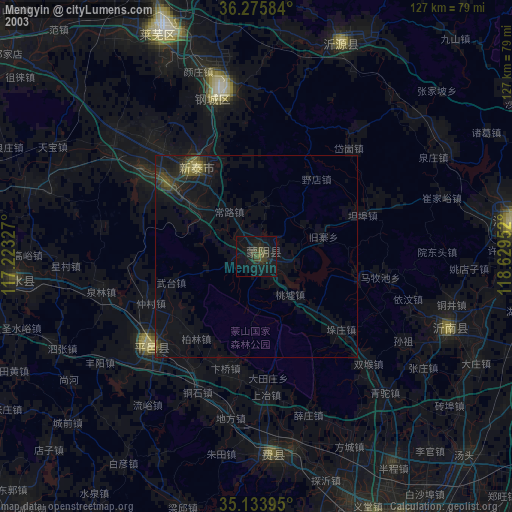
» NASA city lights 2003
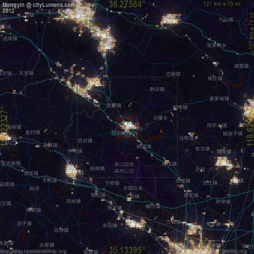
» Earth at Night: Flat Maps 2012, 2016