Pingyi night lights from space
Night Light of Pingyi (Shandong) from space (China) Src. Average luminocity for 10x10km area is 49.0421% and for 50x50km: 3.1078%.
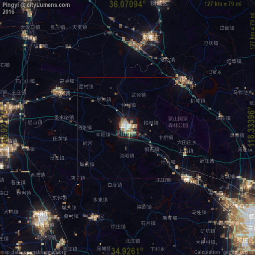
Analysis of Pingyi night lights 2016
Square area 10x10 km:
 6.04%
6.04%90-99
10.44%80-89
9.16%70-79
7.51%60-69
6.23%50-59
8.42%40-49
4.58%30-39
4.21%20-29
13.74%10-19
27.29%0-9
2.38%Square area 50x50 km:
0.23%90-99
0.41%80-89
0.44%70-79
0.42%60-69
0.37%50-59
0.42%40-49
0.45%30-39
0.51%20-29
0.85%10-19
2.57%0-9
93.32%Clear (daylight) street map image can be seen on geolist.org.
Map coordinates:
36° 4' 15.4" North, 116° 55' 39.8" East
35° 30' 2" North, 117° 37' 51" East
34° 55' 34" North, 118° 20' 2.3" East
Some cities around Pingyi sort by population:
• Xintai
45.8 km =28.5 mi,  13°
13°
• Chengtangcun
61.2 km =38 mi,  220°
220°
• Sishui
36.1 km =22.4 mi,  297°
297°
• Qufu
58.9 km =36.6 mi,  280°
280°
• Feicheng
40.5 km =25.2 mi,  131°
131°
• Shanting
49.8 km =30.9 mi,  198°
198°
• Dongdu
39.4 km =24.5 mi, 9°
• Mengyin
35.2 km =21.9 mi,  49°
49°
1798634 (p: 78,254)
Sources (retrieved 2019-11-25):
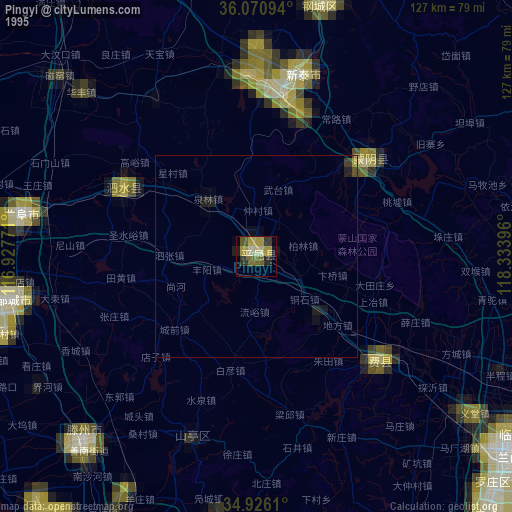
» NASA, Earths city lights 1995
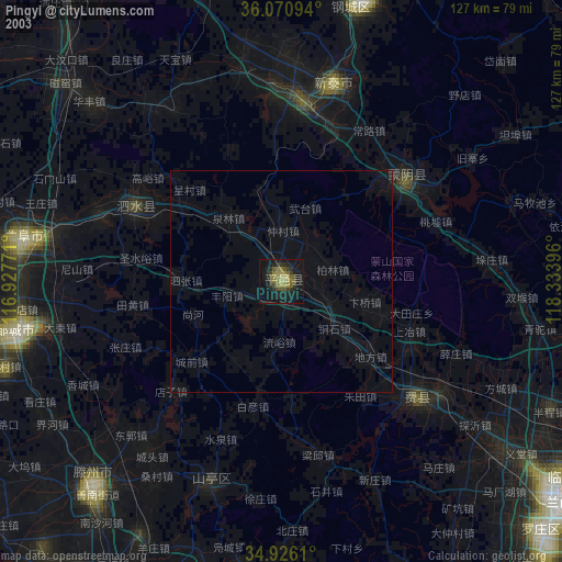
» NASA city lights 2003
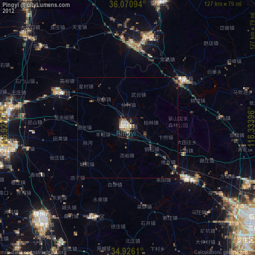
» Earth at Night: Flat Maps 2012, 2016