Zhangjiajie night lights from space
Night Light of Zhangjiajie (Hunan) from space (China) Src. Average luminocity for 10x10km area is 34.375% and for 50x50km: 1.8814%.
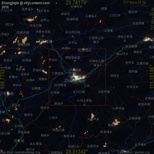
Analysis of Zhangjiajie night lights 2016
Square area 10x10 km:
 6.35%
6.35%90-99
7.94%80-89
2.18%70-79
1.79%60-69
3.17%50-59
4.76%40-49
6.75%30-39
5.16%20-29
2.78%10-19
46.03%0-9
13.1%Square area 50x50 km:
0.26%90-99
0.35%80-89
0.11%70-79
0.1%60-69
0.18%50-59
0.29%40-49
0.41%30-39
0.28%20-29
0.12%10-19
1.98%0-9
95.92%Clear (daylight) street map image can be seen on geolist.org.
Map coordinates:
29° 44' 30.4" North, 109° 46' 30.8" East
29° 7' 46" North, 110° 28' 42" East
28° 30' 48.3" North, 111° 10' 53.3" East
Some cities around Zhangjiajie sort by population:
• Changde
117 km =72.7 mi,  94°
94°
• Fenghuang
158.1 km =98.2 mi,  212°
212°
• Zhicheng
163.2 km =101.4 mi,  37°
37°
• Qianzhou
115.7 km =71.9 mi,  218°
218°
• Enshi
161.8 km =100.5 mi,  323°
323°
• Jinshi
144.9 km =90 mi,  68°
68°
• Anxiang
164.9 km =102.5 mi,  79°
79°
• Wulingyuan
25.3 km =15.7 mi,  14°
14°
1813171 (p: 86,083)
Sources (retrieved 2019-11-25):
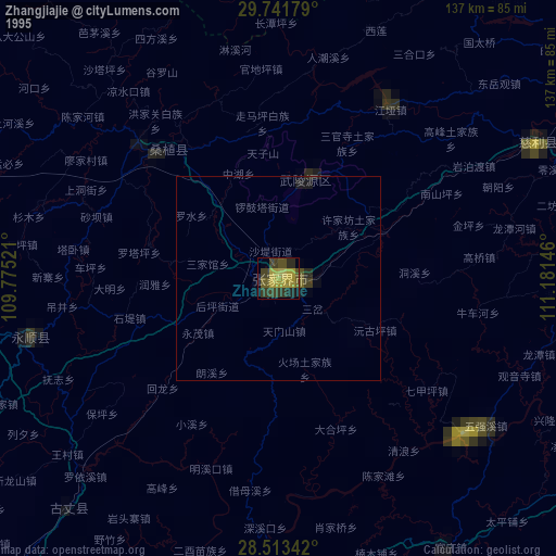
» NASA, Earths city lights 1995
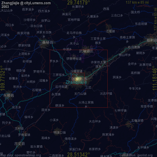
» NASA city lights 2003
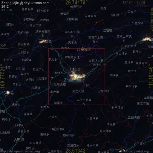
» Earth at Night: Flat Maps 2012, 2016