Yuanping night lights from space
Night Light of Yuanping (Shanxi) from space (China) Src. Average luminocity for 10x10km area is 22.7381% and for 50x50km: 2.8982%.
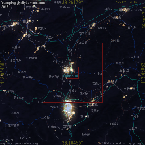
Analysis of Yuanping night lights 2016
Square area 10x10 km:
 0.51%
0.51%90-99
6.8%80-89
3.4%70-79
3.23%60-69
2.38%50-59
2.38%40-49
1.53%30-39
5.61%20-29
3.91%10-19
18.2%0-9
52.04%Square area 50x50 km:
0.13%90-99
0.53%80-89
0.44%70-79
0.28%60-69
0.16%50-59
0.37%40-49
0.36%30-39
0.7%20-29
0.78%10-19
2.91%0-9
93.35%Clear (daylight) street map image can be seen on geolist.org.
Map coordinates:
39° 15' 42.4" North, 112° 3' 15.8" East
38° 42' 55" North, 112° 45' 27" East
38° 9' 52.4" North, 113° 27' 38.3" East
Some cities around Yuanping sort by population:
• Taiyuan
95.6 km =59.4 mi,  190°
190°
• Shijiazhuang
167.7 km =104.2 mi,  116°
116°
• Datong
160 km =99.4 mi,  16°
16°
• Yangquan
118.5 km =73.6 mi,  143°
143°
• Yuci
115.1 km =71.5 mi,  181°
181°
• Xinzhou
34.1 km =21.2 mi, 183°
• Tianchang
135.6 km =84.3 mi,  126°
126°
• Gutao
175.7 km =109.2 mi,  196°
196°
1786060 (p: 82,883)
Sources (retrieved 2019-11-25):
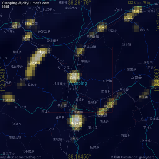
» NASA, Earths city lights 1995
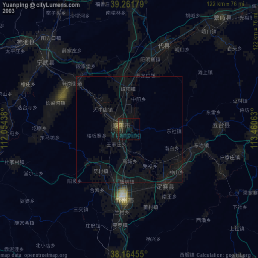
» NASA city lights 2003
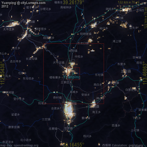
» Earth at Night: Flat Maps 2012, 2016