Xinzhou night lights from space
Night Light of Xinzhou (Shanxi) from space (China) Src. Average luminocity for 10x10km area is 60.2857% and for 50x50km: 5.6989%.
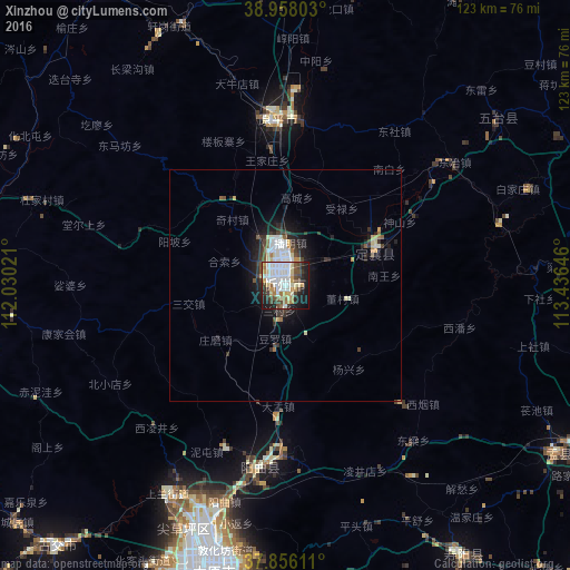
Analysis of Xinzhou night lights 2016
Square area 10x10 km:
 15.75%
90-99
16.56%80-89
6.33%70-79
7.31%60-69
5.36%50-59
4.71%40-49
9.74%30-39
5.84%20-29
10.88%10-19
16.07%0-9
1.46%Square area 50x50 km:
1.08%90-99
1.22%80-89
0.64%70-79
0.48%60-69
0.4%50-59
0.49%40-49
0.88%30-39
1.05%20-29
1.5%10-19
3.35%0-9
88.92%Clear (daylight) street map image can be seen on geolist.org.
Map coordinates:
38° 57' 28.9" North, 112° 1' 48.8" East
38° 24' 33" North, 112° 43' 60" East
37° 51' 22" North, 113° 26' 11.3" East
Some cities around Xinzhou sort by population:
• Taiyuan
61.9 km =38.5 mi,  194°
194°
• Shijiazhuang
157.8 km =98.1 mi,  105°
105°
• Yangquan
95 km =59 mi,  130°
130°
• Yuci
81 km =50.3 mi,  180°
180°
• Yuanping
34.1 km =21.2 mi,  3°
3°
• Jiexiu
170.1 km =105.7 mi,  205°
205°
• Tianchang
121 km =75.2 mi, 112°
• Gutao
142.8 km =88.7 mi,  199°
199°
1788450 (p: 154,003)
Sources (retrieved 2019-11-25):
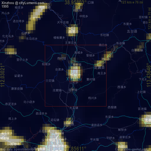
» NASA, Earths city lights 1995
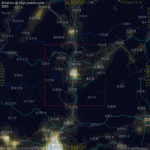
» NASA city lights 2003
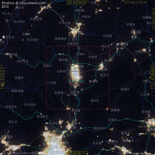
» Earth at Night: Flat Maps 2012, 2016