Baise City night lights from space
Night Light of Baise City (Guangxi) from space (China) Src. Average luminocity for 10x10km area is 55.0933% and for 50x50km: 4.945%.
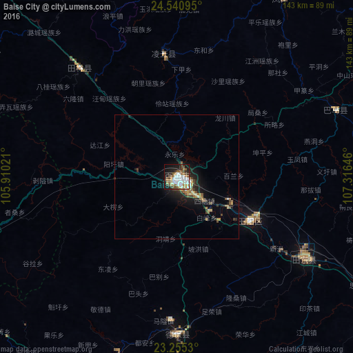
Analysis of Baise City night lights 2016
Square area 10x10 km:
 15.28%
90-99
12.9%80-89
4.37%70-79
4.37%60-69
9.72%50-59
8.73%40-49
5.36%30-39
5.16%20-29
6.75%10-19
22.62%0-9
4.76%Square area 50x50 km:
0.67%90-99
0.7%80-89
0.46%70-79
0.52%60-69
0.8%50-59
0.79%40-49
0.72%30-39
0.54%20-29
1.38%10-19
3.8%0-9
89.61%Clear (daylight) street map image can be seen on geolist.org.
Map coordinates:
24° 32' 27.4" North, 105° 54' 36.8" East
23° 53' 59" North, 106° 36' 48" East
23° 15' 19.1" North, 107° 18' 59.3" East
Some cities around Baise City sort by population:
• Nanning
211.5 km =131.4 mi,  124°
124°
• Baihe
206.3 km =128.2 mi,  162°
162°
• Mabai
241.6 km =150.1 mi,  245°
245°
• Pumiao
229 km =142.3 mi, 123°
• Lạng Sơn, VN
228.1 km =141.7 mi,  176°
176°
• Cao Bằng, VN
141.9 km =88.2 mi,  194°
194°
• Hà Giang, VN
204.9 km =127.3 mi,  234°
234°
• Bắc Kạn, VN
210.5 km =130.8 mi,  202°
202°
1816269 (p: 90,603)
Sources (retrieved 2019-11-25):
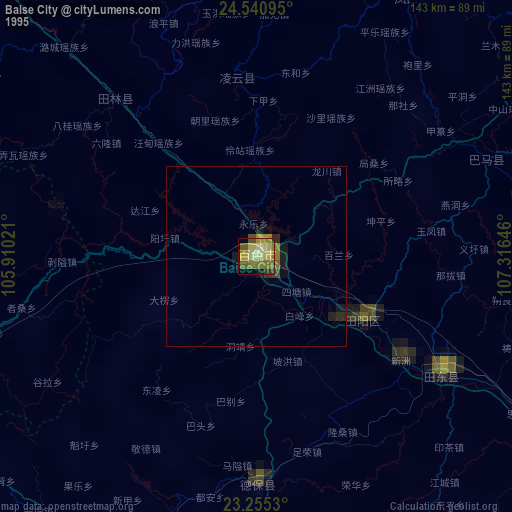
» NASA, Earths city lights 1995
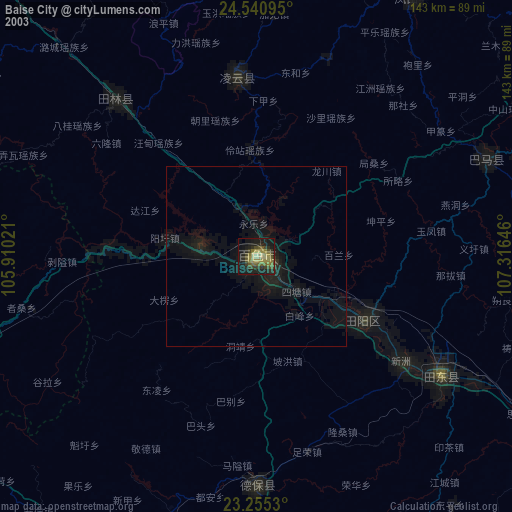
» NASA city lights 2003
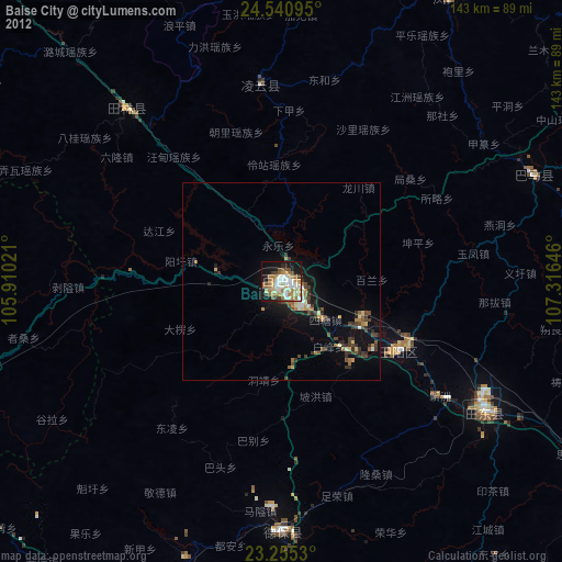
» Earth at Night: Flat Maps 2012, 2016