Mabai night lights from space
Night Light of Mabai (Yunnan) from space (China) Src. Average luminocity for 10x10km area is 1.9722% and for 50x50km: 0.7122%.

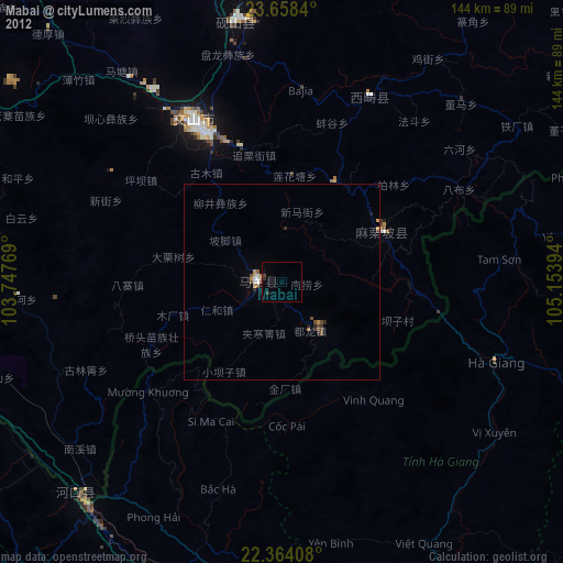

Analysis of Mabai night lights 2016
Square area 10x10 km:
 0%
0%90-99
0%80-89
0%70-79
0.79%60-69
0%50-59
0%40-49
0.4%30-39
1.19%20-29
0.4%10-19
0.4%0-9
96.83%Square area 50x50 km:
0.03%90-99
0.03%80-89
0.03%70-79
0.27%60-69
0.28%50-59
0.01%40-49
0.12%30-39
0.07%20-29
0.16%10-19
0.08%0-9
98.91%Clear (daylight) street map image can be seen on geolist.org.
Map coordinates:
23° 39' 30.2" North, 103° 44' 51.7" East
23° 0' 46" North, 104° 27' 2.9" East
22° 21' 50.7" North, 105° 9' 14.2" East
Some cities around Mabai sort by population:
• Wenshan City
44 km =27.3 mi,  332°
332°
• Kaiyuan
139.7 km =86.8 mi,  303°
303°
• Gejiu
138.1 km =85.8 mi,  286°
286°
• Kaihua
43.5 km =27 mi,  335°
335°
• Lào Cai, VN
76.6 km =47.6 mi,  220°
220°
• Hà Giang, VN
58.5 km =36.4 mi,  111°
111°
• Sa Pa, VN
97.3 km =60.5 mi, 219°
• Lai Châu, VN
122.7 km =76.2 mi,  236°
236°
1818004 (p: 63,569)
Sources (retrieved 2019-11-25):
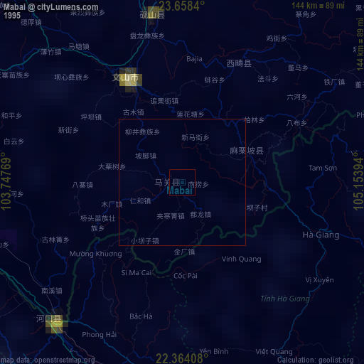
» NASA, Earths city lights 1995
» NASA city lights 2003
» Earth at Night: Flat Maps 2012, 2016