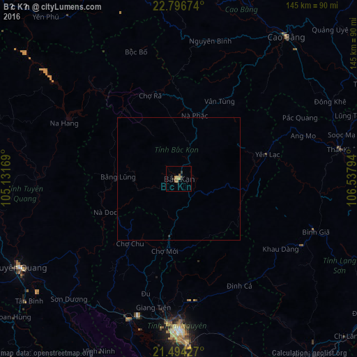
Bắc Kạn night lights from space
Night Light of Bắc Kạn from space (Vietnam) Src. Average luminocity for 10x10km area is 6.9425% and for 50x50km: 0.2965%.
Analysis of Bắc Kạn night lights 2016
Square area 10x10 km:
 0%
0%90-99
0%80-89
1.19%70-79
1.98%60-69
2.38%50-59
1.59%40-49
0.6%30-39
1.39%20-29
0.4%10-19
1.19%0-9
89.29%Square area 50x50 km:
0%90-99
0%80-89
0.05%70-79
0.08%60-69
0.09%50-59
0.06%40-49
0.02%30-39
0.09%20-29
0.02%10-19
0.05%0-9
99.54%Clear (daylight) street map image can be seen on geolist.org.
Map coordinates:
22° 47' 48.3" North, 105° 7' 54.1" East
22° 8' 49.2" North, 105° 50' 5.3" East
21° 29' 39.4" North, 106° 32' 16.6" East
Some cities around Bắc Kạn sort by population:
• Thái Nguyên
61.5 km =38.2 mi,  178°
178°
• Yên Bái
106.3 km =66.1 mi,  243°
243°
• Việt Trì
102 km =63.4 mi,  206°
206°
• Lạng Sơn
100.9 km =62.7 mi,  108°
108°
• Bắc Giang
104 km =64.6 mi,  159°
159°
• Cao Bằng
72.2 km =44.9 mi,  37°
37°
• Tuyên Quang
73.4 km =45.6 mi, 240°
• Vĩnh Yên
96.2 km =59.8 mi,  194°
194°
1591538 (p: 17,701)
Sources (retrieved 2019-11-25):
» Earth at Night: Flat Maps 2012, 2016