Hà Giang night lights from space
Night Light of Hà Giang from space (Vietnam) Src. Average luminocity for 10x10km area is 6.6071% and for 50x50km: 0.5808%.
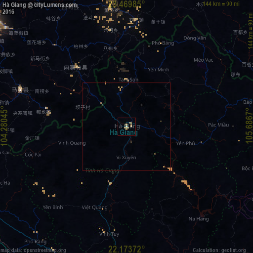
Analysis of Hà Giang night lights 2016
Square area 10x10 km:
 0%
0%90-99
0.79%80-89
0.79%70-79
1.59%60-69
3.77%50-59
0.99%40-49
0%30-39
0%20-29
0%10-19
0.79%0-9
91.27%Square area 50x50 km:
0%90-99
0.03%80-89
0.06%70-79
0.25%60-69
0.25%50-59
0.04%40-49
0.02%30-39
0.1%20-29
0.02%10-19
0.09%0-9
99.16%Clear (daylight) street map image can be seen on geolist.org.
Map coordinates:
23° 28' 11.5" North, 104° 16' 49.6" East
22° 49' 24" North, 104° 59' 0.9" East
22° 10' 25.4" North, 105° 41' 12.1" East
Some cities around Hà Giang sort by population:
• Wenshan City, CN
96 km =59.7 mi,  308°
308°
• Yên Bái
122.6 km =76.2 mi,  183°
183°
• Kaihua, CN
94.4 km =58.7 mi, 310°
• Mabai, CN
58.5 km =36.4 mi,  291°
291°
• Lào Cai
110.5 km =68.7 mi,  250°
250°
• Tuyên Quang
113.7 km =70.6 mi,  167°
167°
• Bắc Kạn
115.3 km =71.6 mi,  130°
130°
• Sa Pa
128.7 km =80 mi, 245°
1581349 (p: 32,690)
Sources (retrieved 2019-11-25):
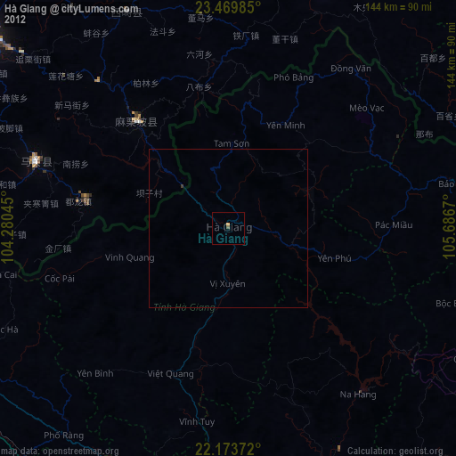
» Earth at Night: Flat Maps 2012, 2016