Lạng Sơn night lights from space
Night Light of Lạng Sơn from space (Vietnam) Src. Average luminocity for 10x10km area is 21.5278% and for 50x50km: 1.9379%.
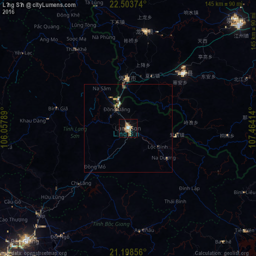
Analysis of Lạng Sơn night lights 2016
Square area 10x10 km:
 1.39%
1.39%90-99
1.98%80-89
2.18%70-79
2.38%60-69
8.13%50-59
5.75%40-49
1.59%30-39
1.19%20-29
0.79%10-19
10.32%0-9
64.29%Square area 50x50 km:
0.07%90-99
0.19%80-89
0.12%70-79
0.31%60-69
0.51%50-59
0.35%40-49
0.32%30-39
0.35%20-29
0.09%10-19
0.5%0-9
97.2%Clear (daylight) street map image can be seen on geolist.org.
Map coordinates:
22° 30' 13.5" North, 106° 3' 28.4" East
21° 51' 9.5" North, 106° 45' 39.6" East
21° 11' 54.8" North, 107° 27' 50.9" East
Some cities around Lạng Sơn sort by population:
• Thái Nguyên
98.6 km =61.3 mi,  253°
253°
• Cung Kiệm
96.6 km =60 mi,  219°
219°
• Thành Phố Uông Bí
91 km =56.5 mi,  179°
179°
• Baihe, CN
57.8 km =35.9 mi,  57°
57°
• Bắc Giang
87.1 km =54.1 mi, 222°
• Bắc Ninh
102.5 km =63.7 mi, 223°
• Cao Bằng
104.2 km =64.7 mi,  330°
330°
• Bắc Kạn
100.9 km =62.7 mi,  288°
288°
1576633 (p: 55,981)
Sources (retrieved 2019-11-25):
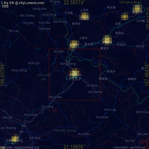
» NASA, Earths city lights 1995
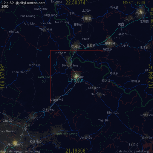
» NASA city lights 2003
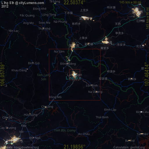
» Earth at Night: Flat Maps 2012, 2016