Aykol night lights from space
Night Light of Aykol (Xinjiang) from space (China) Src. Average luminocity for 10x10km area is 0.2874% and for 50x50km: 3.6195%.
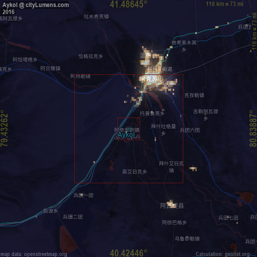
Analysis of Aykol night lights 2016
Square area 10x10 km:
 0%
0%90-99
0%80-89
0%70-79
0%60-69
0%50-59
0%40-49
0.51%30-39
0.17%20-29
0%10-19
0%0-9
99.32%Square area 50x50 km:
0.21%90-99
0.61%80-89
0.42%70-79
0.45%60-69
0.62%50-59
0.74%40-49
0.75%30-39
0.64%20-29
0.9%10-19
2.34%0-9
92.34%Clear (daylight) street map image can be seen on geolist.org.
Map coordinates:
41° 29' 11.2" North, 79° 25' 57.4" East
40° 57' 27.3" North, 80° 8' 8.7" East
40° 25' 28.1" North, 80° 50' 19.9" East
Some cities around Aykol sort by population:
• Aksu
27.9 km =17.3 mi,  25°
25°
• Aral
105.8 km =65.7 mi,  115°
115°
• Karakol, KG
223.5 km =138.9 mi,  319°
319°
• Kuqa
248.1 km =154.2 mi,  70°
70°
• Kyzyl-Suu, KG
234.5 km =145.7 mi,  311°
311°
• Tyup, KG
245.5 km =152.5 mi, 323°
• Ak-Suu, KG
217.3 km =135 mi, 322°
• Kegen, KZ
241.6 km =150.1 mi,  341°
341°
1529630 (p: 11,260)
Sources (retrieved 2019-11-25):
» Earth at Night: Flat Maps 2012, 2016