Aksu night lights from space
Night Light of Aksu (Xinjiang) from space (China) Src. Average luminocity for 10x10km area is 64.849% and for 50x50km: 6.3845%.
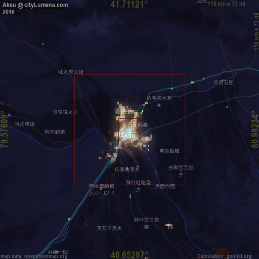

Analysis of Aksu night lights 2016
Square area 10x10 km:
 6.98%
6.98%90-99
17.21%80-89
10.88%70-79
12.01%60-69
12.18%50-59
8.12%40-49
9.74%30-39
11.69%20-29
8.93%10-19
2.27%0-9
0%Square area 50x50 km:
0.33%90-99
0.9%80-89
0.86%70-79
0.96%60-69
1.16%50-59
1.07%40-49
1.13%30-39
1.26%20-29
1.89%10-19
4.28%0-9
86.17%Clear (daylight) street map image can be seen on geolist.org.
Map coordinates:
41° 42' 40.4" North, 79° 34' 33.9" East
41° 11' 3" North, 80° 16' 45.2" East
40° 39' 10.3" North, 80° 58' 56.4" East
Some cities around Aksu sort by population:
• Aral
109.5 km =68 mi,  130°
130°
• Karakol, KG
213.3 km =132.5 mi,  312°
312°
• Kuqa
228.8 km =142.2 mi,  74°
74°
• Kyzyl-Suu, KG
228.3 km =141.9 mi,  304°
304°
• Tyup, KG
233.5 km =145.1 mi,  317°
317°
• Aykol
27.9 km =17.3 mi,  205°
205°
• Ak-Suu, KG
206 km =128 mi, 315°
• Kegen, KZ
222.2 km =138.1 mi,  336°
336°
1529660 (p: 340,020)
Sources (retrieved 2019-11-25):
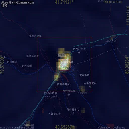
» NASA, Earths city lights 1995
» NASA city lights 2003
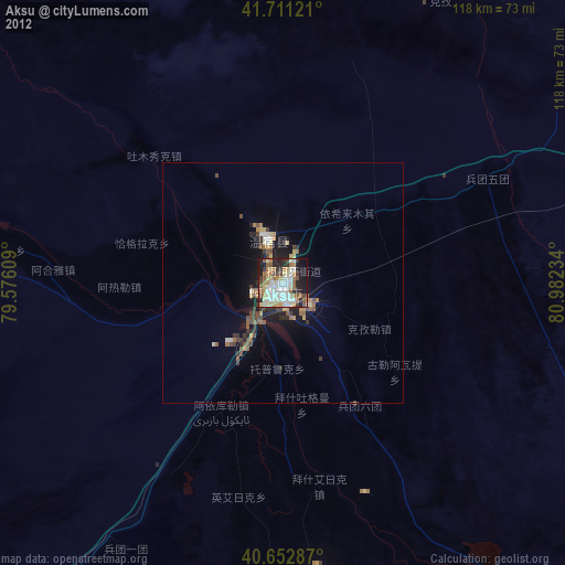
» Earth at Night: Flat Maps 2012, 2016