Aral night lights from space
Night Light of Aral (Xinjiang) from space (China) Src. Average luminocity for 10x10km area is 8.6136% and for 50x50km: 0.5934%.
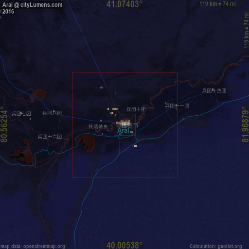
Analysis of Aral night lights 2016
Square area 10x10 km:
 0%
0%90-99
0%80-89
0%70-79
0.65%60-69
1.3%50-59
3.9%40-49
4.71%30-39
3.57%20-29
1.46%10-19
1.3%0-9
83.12%Square area 50x50 km:
0%90-99
0%80-89
0.03%70-79
0.08%60-69
0.08%50-59
0.22%40-49
0.26%30-39
0.2%20-29
0.16%10-19
0.14%0-9
98.85%Clear (daylight) street map image can be seen on geolist.org.
Map coordinates:
41° 4' 26.5" North, 80° 33' 45.1" East
40° 32' 30.6" North, 81° 15' 56.4" East
40° 0' 19.4" North, 81° 58' 7.6" East
Some cities around Aral sort by population:
• Aksu
109.5 km =68 mi,  310°
310°
• Karakol, KG
322.7 km =200.5 mi, 312°
• Kuqa
191.1 km =118.7 mi,  46°
46°
• Kyzyl-Suu, KG
337.4 km =209.7 mi, 306°
• Tyup, KG
342.3 km =212.7 mi,  315°
315°
• Aykol
105.8 km =65.7 mi,  295°
295°
• Ak-Suu, KG
315.2 km =195.9 mi, 313°
• Kegen, KZ
323.6 km =201.1 mi,  328°
328°
1529641 (p: 260,000)
Sources (retrieved 2019-11-25):
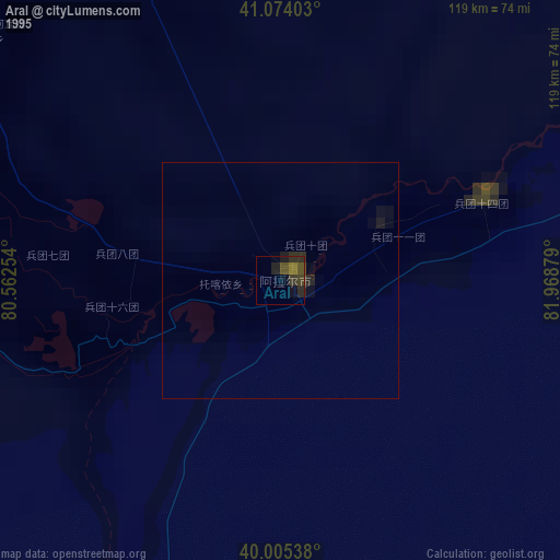
» NASA, Earths city lights 1995
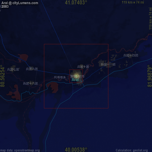
» NASA city lights 2003
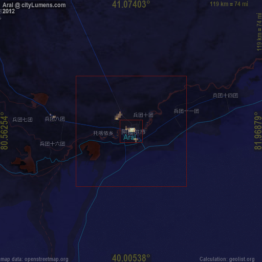
» Earth at Night: Flat Maps 2012, 2016