Kuqa night lights from space
Night Light of Kuqa (Xinjiang) from space (China) Src. Average luminocity for 10x10km area is 36.526% and for 50x50km: 3.0997%.
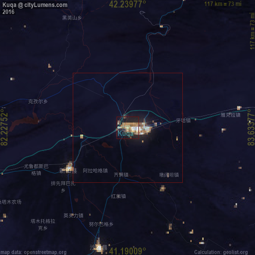


Analysis of Kuqa night lights 2016
Square area 10x10 km:
 1.95%
1.95%90-99
4.06%80-89
4.06%70-79
8.93%60-69
11.2%50-59
5.03%40-49
2.76%30-39
5.03%20-29
9.25%10-19
32.95%0-9
14.77%Square area 50x50 km:
0.17%90-99
0.39%80-89
0.3%70-79
0.54%60-69
0.77%50-59
0.39%40-49
0.42%30-39
0.36%20-29
0.7%10-19
2.93%0-9
93.04%Clear (daylight) street map image can be seen on geolist.org.
Map coordinates:
42° 14' 23.2" North, 82° 13' 39.1" East
41° 43' 1.5" North, 82° 55' 50.3" East
41° 11' 24.3" North, 83° 38' 1.6" East
Some cities around Kuqa sort by population:
• Aksu
228.8 km =142.2 mi,  254°
254°
• Xinyuan
191.9 km =119.2 mi,  7°
7°
• Aral
191.1 km =118.7 mi,  226°
226°
• Korla
267.3 km =166.1 mi,  88°
88°
• Qapqal
276.4 km =171.7 mi,  327°
327°
• Aykol
248.1 km =154.2 mi, 250°
• Sishilichengzi
295 km =183.3 mi,  84°
84°
• Baluntaicun
298.9 km =185.7 mi,  69°
69°
1529363 (p: 68,105)
Sources (retrieved 2019-11-25):
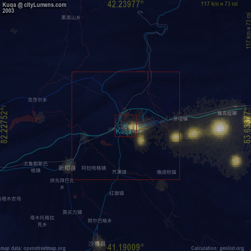
» NASA, Earths city lights 1995
» NASA city lights 2003
» Earth at Night: Flat Maps 2012, 2016