Ak-Suu night lights from space
Night Light of Ak-Suu (Issyk-Kul) from space (Kyrgyzstan) Src. Average luminocity for 10x10km area is 0.2% and for 50x50km: 0.3516%.
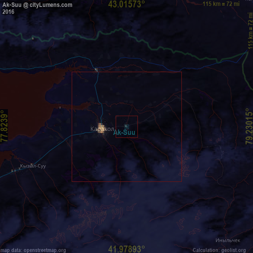
Analysis of Ak-Suu night lights 2016
Square area 10x10 km:
 0%
0%90-99
0%80-89
0%70-79
0%60-69
0%50-59
0%40-49
0%30-39
0%20-29
0.63%10-19
0%0-9
99.37%Square area 50x50 km:
0%90-99
0%80-89
0.01%70-79
0.04%60-69
0.15%50-59
0.08%40-49
0.1%30-39
0.12%20-29
0.08%10-19
0.06%0-9
99.36%Clear (daylight) street map image can be seen on geolist.org.
Map coordinates:
43° 0' 56.6" North, 77° 49' 26" East
42° 29' 58.1" North, 78° 31' 37.3" East
41° 58' 44.1" North, 79° 13' 48.5" East
Some cities around Ak-Suu sort by population:
• Karakol
11 km =6.8 mi,  264°
264°
• Talghar, KZ
137.7 km =85.6 mi,  310°
310°
• Esik, KZ
129.3 km =80.3 mi,  317°
317°
• Cholpon-Ata
119.5 km =74.3 mi,  278°
278°
• Kyzyl-Suu
46.2 km =28.7 mi,  247°
247°
• Tyup
28.6 km =17.8 mi,  332°
332°
• Turgen, KZ
125.7 km =78.1 mi, 322°
• Kegen, KZ
81.1 km =50.4 mi,  44°
44°
1527232 (p: 10,823)
Sources (retrieved 2019-11-25):
» Earth at Night: Flat Maps 2012, 2016