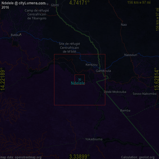
Ndelele night lights from space
Night Light of Ndelele (East) from space (Cameroon) Src. Average luminocity for 10x10km area is 0% and for 50x50km: 0%.
Analysis of Ndelele night lights 2016
Square area 10x10 km:
 0%
0%90-99
0%80-89
0%70-79
0%60-69
0%50-59
0%40-49
0%30-39
0%20-29
0%10-19
0%0-9
100%Square area 50x50 km:
0%90-99
0%80-89
0%70-79
0%60-69
0%50-59
0%40-49
0%30-39
0%20-29
0%10-19
0%0-9
100%Clear (daylight) street map image can be seen on geolist.org.
Map coordinates:
4° 44' 30.2" North, 14° 13' 18.8" East
4° 2' 26.3" North, 14° 55' 30" East
3° 20' 20.4" North, 15° 37' 41.3" East
Some cities around Ndelele sort by population:
• Bertoua
149.9 km =93.1 mi,  293°
293°
• Berbérati, CF
99.2 km =61.6 mi,  75°
75°
• Batouri
75.8 km =47.1 mi,  305°
305°
• Carnot, CF
145.6 km =90.5 mi,  46°
46°
• Nola, CF
136.9 km =85.1 mi,  114°
114°
• Yokadouma
59.9 km =37.2 mi,  166°
166°
• Dimako
155.4 km =96.6 mi,  284°
284°
• Gamboula, CF
25.3 km =15.7 mi,  70°
70°
2225325 (p: 5,040)
Sources (retrieved 2019-11-25):
» Earth at Night: Flat Maps 2012, 2016