Carnot night lights from space
Night Light of Carnot (Mambéré-Kadéï) from space (Central African Republic) Src. Average luminocity for 10x10km area is 0% and for 50x50km: 0%.
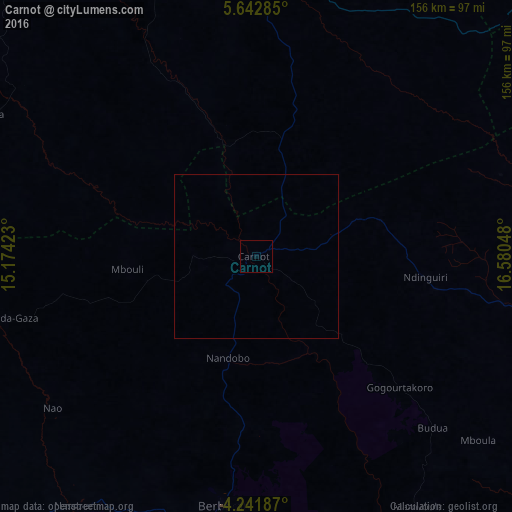

Analysis of Carnot night lights 2016
Square area 10x10 km:
 0%
0%90-99
0%80-89
0%70-79
0%60-69
0%50-59
0%40-49
0%30-39
0%20-29
0%10-19
0%0-9
100%Square area 50x50 km:
0%90-99
0%80-89
0%70-79
0%60-69
0%50-59
0%40-49
0%30-39
0%20-29
0%10-19
0%0-9
100%Clear (daylight) street map image can be seen on geolist.org.
Map coordinates:
5° 38' 34.3" North, 15° 10' 27.2" East
4° 56' 33.8" North, 15° 52' 38.5" East
4° 14' 30.7" North, 16° 34' 49.7" East
Some cities around Carnot sort by population:
• Berbérati
76.4 km =47.5 mi,  187°
187°
• Batouri, CM
176.7 km =109.8 mi,  251°
251°
• Bozoum
162.9 km =101.2 mi,  19°
19°
• Bouar
114.5 km =71.1 mi,  344°
344°
• Nola
158.7 km =98.6 mi,  173°
173°
• Gamboula
122.9 km =76.4 mi,  221°
221°
• Baoro
81.1 km =50.4 mi,  7°
7°
• Ndelele, CM
145.6 km =90.5 mi,  226°
226°
2387495 (p: 38,071)
Sources (retrieved 2019-11-25):
» Earth at Night: Flat Maps 2012, 2016