Bertoua night lights from space
Night Light of Bertoua (East) from space (Cameroon) Src. Average luminocity for 10x10km area is 8.0165% and for 50x50km: 0.3396%.
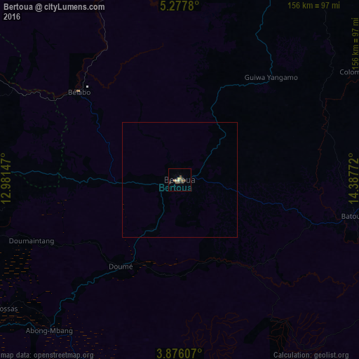
Analysis of Bertoua night lights 2016
Square area 10x10 km:
 0%
0%90-99
0.83%80-89
1.65%70-79
1.65%60-69
0.83%50-59
1.03%40-49
3.1%30-39
1.65%20-29
1.45%10-19
0.21%0-9
87.6%Square area 50x50 km:
0%90-99
0.03%80-89
0.07%70-79
0.07%60-69
0.03%50-59
0.04%40-49
0.13%30-39
0.07%20-29
0.06%10-19
0.01%0-9
99.49%Clear (daylight) street map image can be seen on geolist.org.
Map coordinates:
5° 16' 40.1" North, 12° 58' 53.3" East
4° 34' 38.2" North, 13° 41' 4.5" East
3° 52' 33.9" North, 14° 23' 15.8" East
Some cities around Bertoua sort by population:
• Batouri
77.3 km =48 mi,  101°
101°
• Nanga Eboko
146.5 km =91 mi,  274°
274°
• Bélabo
58.2 km =36.2 mi,  312°
312°
• Abong Mbang
86.3 km =53.6 mi,  220°
220°
• Bétaré Oya
122 km =75.8 mi,  21°
21°
• Dimako
25.2 km =15.7 mi,  211°
211°
• Doumé
46.2 km =28.7 mi, 214°
• Ndelele
149.9 km =93.1 mi,  113°
113°
2234359 (p: 218,111)
Sources (retrieved 2019-11-25):
» NASA, Earths city lights 1995
» NASA city lights 2003
» Earth at Night: Flat Maps 2012, 2016