Gamboula night lights from space
Night Light of Gamboula (Mambéré-Kadéï) from space (Central African Republic) Src. Average luminocity for 10x10km area is 0% and for 50x50km: 0%.
Analysis of Gamboula night lights 2016
Square area 10x10 km:
 0%
0%90-99
0%80-89
0%70-79
0%60-69
0%50-59
0%40-49
0%30-39
0%20-29
0%10-19
0%0-9
100%Square area 50x50 km:
0%90-99
0%80-89
0%70-79
0%60-69
0%50-59
0%40-49
0%30-39
0%20-29
0%10-19
0%0-9
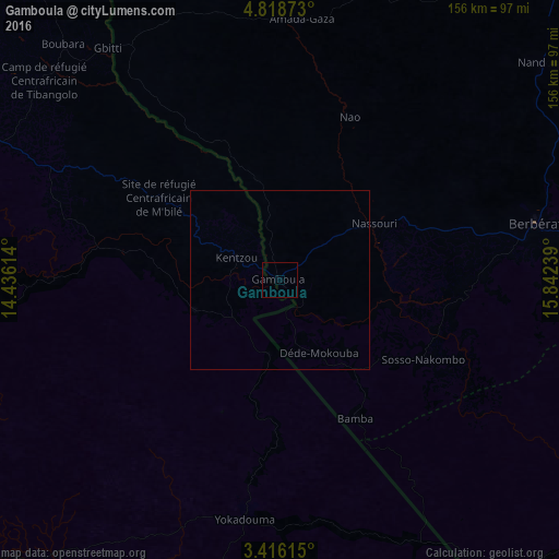
100%Clear (daylight) street map image can be seen on geolist.org.
Map coordinates:
4° 49' 7.4" North, 14° 26' 10.1" East
4° 7' 3.9" North, 15° 8' 21.3" East
3° 24' 58.1" North, 15° 50' 32.6" East
Some cities around Gamboula sort by population:
• Bertoua, CM
169.2 km =105.1 mi,  287°
287°
• Berbérati
74.1 km =46 mi,  77°
77°
• Batouri, CM
92.6 km =57.5 mi, 292°
• Carnot
122.9 km =76.4 mi,  41°
41°
• Nola
120.3 km =74.8 mi,  123°
123°
• Yokadouma, CM
67.6 km =42 mi,  188°
188°
• Dimako, CM
176.9 km =109.9 mi,  279°
279°
• Ndelele, CM
25.3 km =15.7 mi,  250°
250°
2386756 (p: 7,646)
Sources (retrieved 2019-11-25):
» Earth at Night: Flat Maps 2012, 2016