Batouri night lights from space
Night Light of Batouri (East) from space (Cameroon) Src. Average luminocity for 10x10km area is 0.4215% and for 50x50km: 0.0182%.
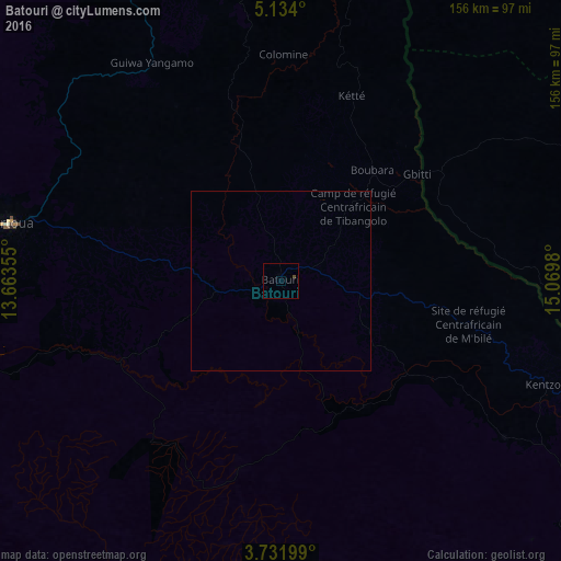
Analysis of Batouri night lights 2016
Square area 10x10 km:
 0%
0%90-99
0%80-89
0%70-79
0%60-69
0%50-59
0%40-49
0.83%30-39
0%20-29
0%10-19
0%0-9
99.17%Square area 50x50 km:
0%90-99
0%80-89
0%70-79
0%60-69
0%50-59
0%40-49
0.03%30-39
0%20-29
0%10-19
0%0-9
99.97%Clear (daylight) street map image can be seen on geolist.org.
Map coordinates:
5° 8' 2.4" North, 13° 39' 48.8" East
4° 25' 60" North, 14° 22' 0" East
3° 43' 55.2" North, 15° 4' 11.3" East
Some cities around Batouri sort by population:
• Bertoua
77.3 km =48 mi,  281°
281°
• Bélabo
130.6 km =81.2 mi,  295°
295°
• Yokadouma
127 km =78.9 mi,  143°
143°
• Bétaré Oya
133.5 km =83 mi,  346°
346°
• Dimako
88.9 km =55.2 mi,  266°
266°
• Gamboula, CF
92.6 km =57.5 mi,  112°
112°
• Doumé
104 km =64.6 mi,  257°
257°
• Ndelele
75.8 km =47.1 mi,  125°
125°
2234663 (p: 43,821)
Sources (retrieved 2019-11-25):
» Earth at Night: Flat Maps 2012, 2016