Dimako night lights from space
Night Light of Dimako (East) from space (Cameroon) Src. Average luminocity for 10x10km area is 0% and for 50x50km: 0.3308%.
Analysis of Dimako night lights 2016
Square area 10x10 km:
 0%
0%90-99
0%80-89
0%70-79
0%60-69
0%50-59
0%40-49
0%30-39
0%20-29
0%10-19
0%0-9
100%Square area 50x50 km:
0%90-99
0.03%80-89
0.07%70-79
0.07%60-69
0.03%50-59
0.04%40-49
0.13%30-39
0.07%20-29
0.06%10-19
0.01%0-9
99.49%Clear (daylight) street map image can be seen on geolist.org.
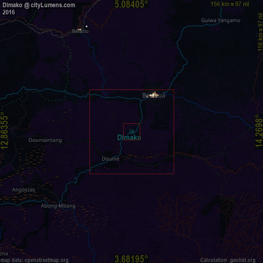
Map coordinates:
5° 5' 2.6" North, 12° 51' 48.8" East
4° 22' 60" North, 13° 34' 0" East
3° 40' 55" North, 14° 16' 11.3" East
Some cities around Dimako sort by population:
• Bertoua
25.2 km =15.7 mi,  31°
31°
• Batouri
88.9 km =55.2 mi,  86°
86°
• Nanga Eboko
137.1 km =85.2 mi,  284°
284°
• Bélabo
67.9 km =42.2 mi,  334°
334°
• Abong Mbang
61.5 km =38.2 mi,  223°
223°
• Bétaré Oya
146.9 km =91.3 mi,  22°
22°
• Doumé
21.1 km =13.1 mi, 217°
• Ndelele
155.4 km =96.6 mi,  104°
104°
2233056 (p: 8,476)
Sources (retrieved 2019-11-25):
» Earth at Night: Flat Maps 2012, 2016