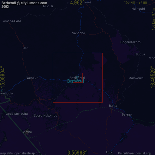
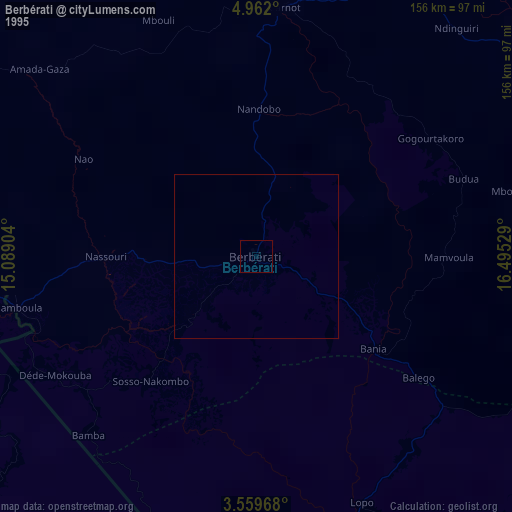
Berbérati night lights from space
Night Light of Berbérati (Mambéré-Kadéï) from space (Central African Republic) Src. Average luminocity for 10x10km area is 0.3377% and for 50x50km: 0.0133%.
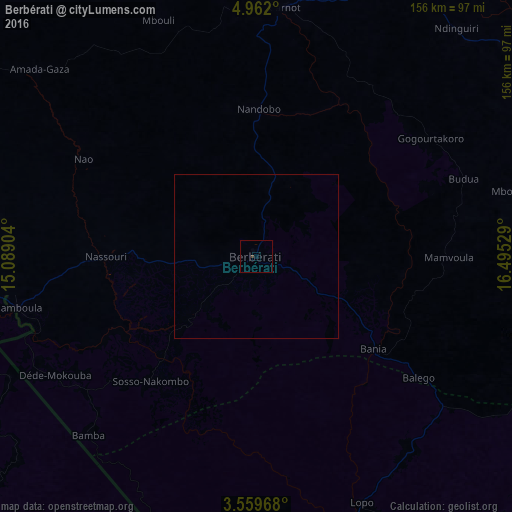

Analysis of Berbérati night lights 2016
Square area 10x10 km:
 0%
0%90-99
0%80-89
0%70-79
0%60-69
0%50-59
0%40-49
0%30-39
0.87%20-29
0%10-19
0%0-9
99.13%Square area 50x50 km:
0%90-99
0%80-89
0%70-79
0%60-69
0%50-59
0%40-49
0%30-39
0.03%20-29
0%10-19
0%0-9
99.97%Clear (daylight) street map image can be seen on geolist.org.
Map coordinates:
4° 57' 43.2" North, 15° 5' 20.5" East
4° 15' 40.2" North, 15° 47' 31.8" East
3° 33' 34.8" North, 16° 29' 43" East
Some cities around Berbérati sort by population:
• Batouri, CM
159.2 km =98.9 mi,  276°
276°
• Carnot
76.4 km =47.5 mi,  7°
7°
• Nola
86.6 km =53.8 mi,  161°
161°
• Boda
186.1 km =115.6 mi,  88°
88°
• Yokadouma, CM
116.8 km =72.6 mi,  224°
224°
• Gamboula
74.1 km =46 mi,  257°
257°
• Baoro
157.5 km =97.9 mi, 7°
• Ndelele, CM
99.2 km =61.6 mi, 255°
2389086 (p: 61,815)
Sources (retrieved 2019-11-25):
» NASA, Earths city lights 1995
» NASA city lights 2003
» Earth at Night: Flat Maps 2012, 2016