Nola night lights from space
Night Light of Nola (Sangha-Mbaéré) from space (Central African Republic) Src. Average luminocity for 10x10km area is 0.2078% and for 50x50km: 0.0083%.

Analysis of Nola night lights 2016
Square area 10x10 km:
 0%
0%90-99
0%80-89
0%70-79
0%60-69
0%50-59
0%40-49
0%30-39
0%20-29
0.87%10-19
0%0-9
99.13%Square area 50x50 km:
0%90-99
0%80-89
0%70-79
0%60-69
0%50-59
0%40-49
0%30-39
0%20-29
0.03%10-19
0%0-9
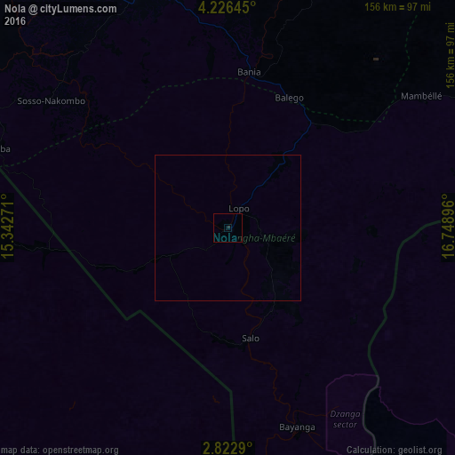
99.97%Clear (daylight) street map image can be seen on geolist.org.
Map coordinates:
4° 13' 35.2" North, 15° 20' 33.8" East
3° 31' 29.8" North, 16° 2' 45" East
2° 49' 22.4" North, 16° 44' 56.3" East
Some cities around Nola sort by population:
• Berbérati
86.6 km =53.8 mi,  341°
341°
• Batouri, CM
211.9 km =131.7 mi,  298°
298°
• Carnot
158.7 km =98.6 mi,  353°
353°
• Ouésso, CG
212.5 km =132 mi,  179°
179°
• Boda
180.9 km =112.4 mi,  60°
60°
• Yokadouma, CM
110.5 km =68.7 mi,  269°
269°
• Gamboula
120.3 km =74.8 mi, 303°
• Ndelele, CM
136.9 km =85.1 mi,  294°
294°
2383827 (p: 26,809)
Sources (retrieved 2019-11-25):
» Earth at Night: Flat Maps 2012, 2016