Maroua night lights from space
Night Light of Maroua (Far North) from space (Cameroon) Src. Average luminocity for 10x10km area is 17.1219% and for 50x50km: 0.7543%.
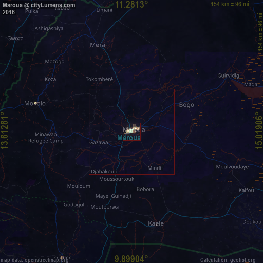
Analysis of Maroua night lights 2016
Square area 10x10 km:
 0%
0%90-99
1.03%80-89
4.96%70-79
2.89%60-69
1.45%50-59
3.72%40-49
2.48%30-39
5.79%20-29
2.48%10-19
2.27%0-9
72.93%Square area 50x50 km:
0%90-99
0.04%80-89
0.2%70-79
0.12%60-69
0.06%50-59
0.15%40-49
0.1%30-39
0.24%20-29
0.1%10-19
0.13%0-9
98.86%Clear (daylight) street map image can be seen on geolist.org.
Map coordinates:
11° 16' 52.7" North, 13° 36' 46.1" East
10° 35' 27.4" North, 14° 18' 57.3" East
9° 53' 56.5" North, 15° 1' 8.6" East
Some cities around Maroua sort by population:
• Mokolo
58.6 km =36.4 mi,  286°
286°
• Guider
83.5 km =51.9 mi,  208°
208°
• Mora
54.1 km =33.6 mi,  339°
339°
• Kaélé
55.6 km =34.5 mi,  164°
164°
• Bogo
35.8 km =22.2 mi,  63°
63°
• Gwoza, NG
87.1 km =54.1 mi,  308°
308°
• Madagali, NG
82.1 km =51 mi, 293°
• Mindif
25.2 km =15.7 mi,  148°
148°
2228373 (p: 319,941)
Sources (retrieved 2019-11-25):
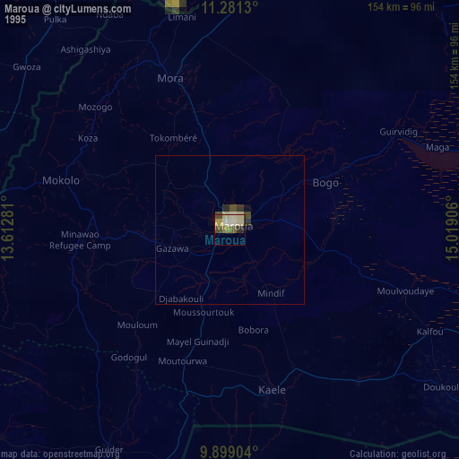
» NASA, Earths city lights 1995
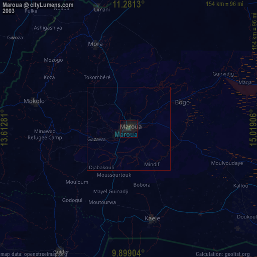
» NASA city lights 2003
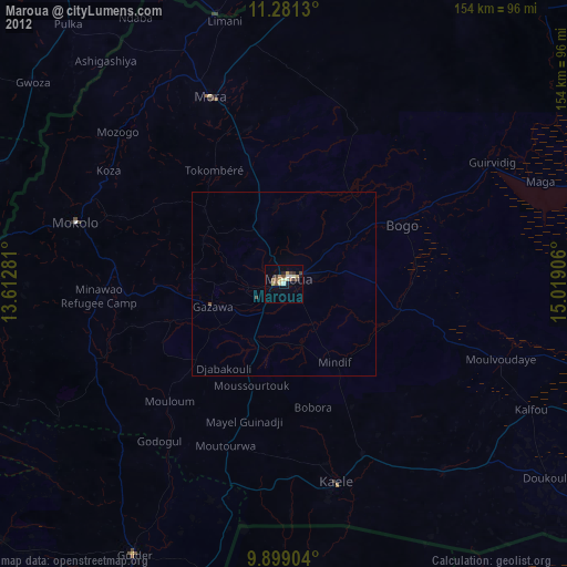
» Earth at Night: Flat Maps 2012, 2016