Mindif night lights from space
Night Light of Mindif (Far North) from space (Cameroon) Src. Average luminocity for 10x10km area is 0% and for 50x50km: 0.6769%.
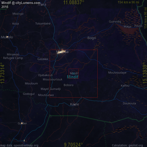
Analysis of Mindif night lights 2016
Square area 10x10 km:
 0%
0%90-99
0%80-89
0%70-79
0%60-69
0%50-59
0%40-49
0%30-39
0%20-29
0%10-19
0%0-9
100%Square area 50x50 km:
0%90-99
0.04%80-89
0.2%70-79
0.12%60-69
0.06%50-59
0.15%40-49
0.1%30-39
0.17%20-29
0.1%10-19
0.13%0-9
98.93%Clear (daylight) street map image can be seen on geolist.org.
Map coordinates:
11° 5' 18.1" North, 13° 43' 59.3" East
10° 23' 51.3" North, 14° 26' 10.5" East
9° 42' 18.9" North, 15° 8' 21.8" East
Some cities around Mindif sort by population:
• Maroua
25.2 km =15.7 mi,  328°
328°
• Mokolo
79.2 km =49.2 mi,  298°
298°
• Guider
74.4 km =46.2 mi,  226°
226°
• Yagoua
87.4 km =54.3 mi,  94°
94°
• Mora
79 km =49.1 mi,  335°
335°
• Kaélé
32.1 km =19.9 mi,  177°
177°
• Mboursou Léré, TD
76.9 km =47.8 mi,  203°
203°
• Bogo
41.9 km =26 mi,  26°
26°
2226641 (p: 10,538)
Sources (retrieved 2019-11-25):
» Earth at Night: Flat Maps 2012, 2016