Mboursou Léré night lights from space
Night Light of Mboursou Léré (Mayo-Kebbi Ouest) from space (Chad) Src. Average luminocity for 10x10km area is 0% and for 50x50km: 0.1271%.
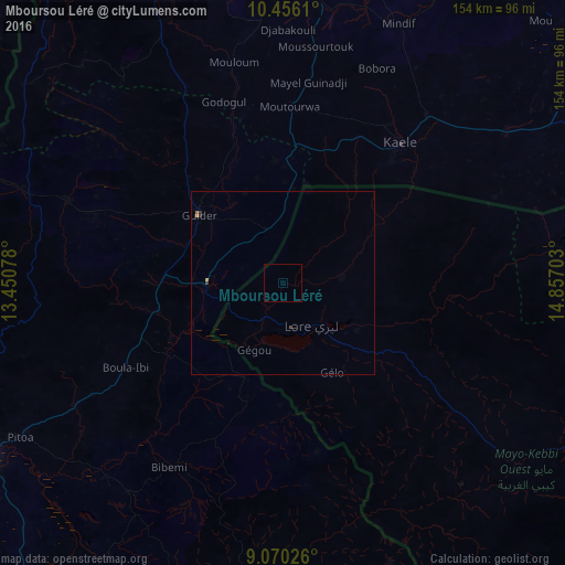
Analysis of Mboursou Léré night lights 2016
Square area 10x10 km:
 0%
0%90-99
0%80-89
0%70-79
0%60-69
0%50-59
0%40-49
0%30-39
0%20-29
0%10-19
0%0-9
100%Square area 50x50 km:
0%90-99
0%80-89
0%70-79
0.05%60-69
0.05%50-59
0%40-49
0.03%30-39
0.08%20-29
0.03%10-19
0%0-9
99.77%Clear (daylight) street map image can be seen on geolist.org.
Map coordinates:
10° 27' 22" North, 13° 27' 2.8" East
9° 45' 50" North, 14° 9' 14" East
9° 4' 12.9" North, 14° 51' 25.3" East
Some cities around Mboursou Léré sort by population:
• Garoua, CM
97.6 km =60.6 mi,  238°
238°
• Maroua, CM
93.7 km =58.2 mi,  10°
10°
• Guider, CM
29.5 km =18.3 mi,  309°
309°
• Pala
93.5 km =58.1 mi,  118°
118°
• Kaélé, CM
50.3 km =31.3 mi,  40°
40°
• Lagdo, CM
95 km =59 mi,  214°
214°
• Pitoa, CM
83 km =51.6 mi, 239°
• Mindif, CM
76.9 km =47.8 mi,  23°
23°
2428042 (p: 17,132)
Sources (retrieved 2019-11-25):
» Earth at Night: Flat Maps 2012, 2016