Abong Mbang night lights from space
Night Light of Abong Mbang (East) from space (Cameroon) Src. Average luminocity for 10x10km area is 0% and for 50x50km: 0%.
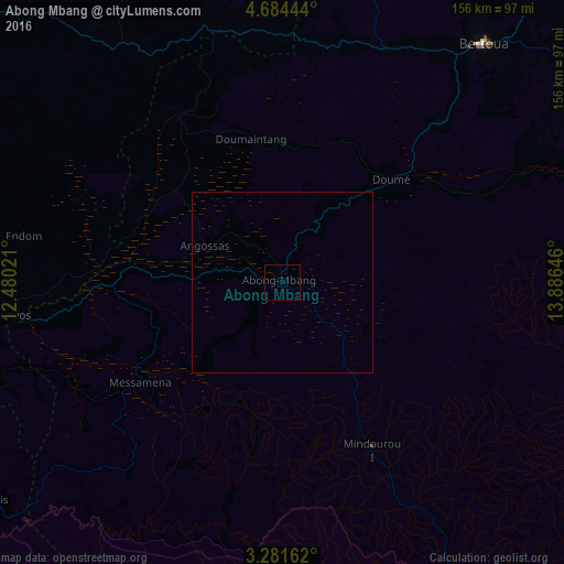
Analysis of Abong Mbang night lights 2016
Square area 10x10 km:
 0%
0%90-99
0%80-89
0%70-79
0%60-69
0%50-59
0%40-49
0%30-39
0%20-29
0%10-19
0%0-9
100%Square area 50x50 km:
0%90-99
0%80-89
0%70-79
0%60-69
0%50-59
0%40-49
0%30-39
0%20-29
0%10-19
0%0-9
100%Clear (daylight) street map image can be seen on geolist.org.
Map coordinates:
4° 41' 4" North, 12° 28' 48.8" East
3° 58' 60" North, 13° 10' 60" East
3° 16' 53.8" North, 13° 53' 11.3" East
Some cities around Abong Mbang sort by population:
• Bertoua
86.3 km =53.6 mi,  40°
40°
• Nkoteng
140.6 km =87.4 mi,  294°
294°
• Batouri
140.4 km =87.2 mi,  69°
69°
• Nanga Eboko
119.4 km =74.2 mi,  310°
310°
• Bélabo
106.4 km =66.1 mi,  6°
6°
• Akonolinga
106.3 km =66.1 mi,  256°
256°
• Dimako
61.5 km =38.2 mi, 43°
• Doumé
40.6 km =25.2 mi,  46°
46°
2236053 (p: 14,661)
Sources (retrieved 2019-11-25):
» Earth at Night: Flat Maps 2012, 2016