Bétaré Oya night lights from space
Night Light of Bétaré Oya (East) from space (Cameroon) Src. Average luminocity for 10x10km area is 0% and for 50x50km: 0%.
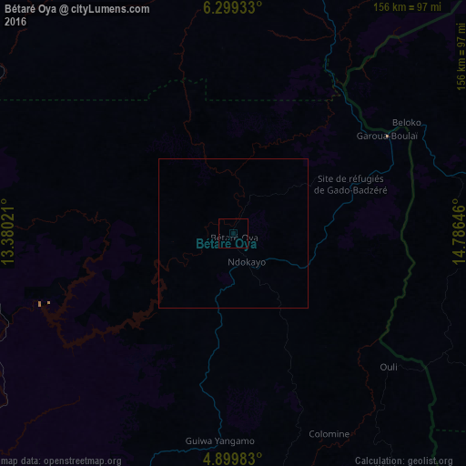
Analysis of Bétaré Oya night lights 2016
Square area 10x10 km:
 0%
0%90-99
0%80-89
0%70-79
0%60-69
0%50-59
0%40-49
0%30-39
0%20-29
0%10-19
0%0-9
100%Square area 50x50 km:
0%90-99
0%80-89
0%70-79
0%60-69
0%50-59
0%40-49
0%30-39
0%20-29
0%10-19
0%0-9
100%Clear (daylight) street map image can be seen on geolist.org.
Map coordinates:
6° 17' 57.6" North, 13° 22' 48.8" East
5° 36' 0" North, 14° 4' 60" East
4° 53' 59.4" North, 14° 47' 11.3" East
Some cities around Bétaré Oya sort by population:
• Bertoua
122 km =75.8 mi,  201°
201°
• Meïganga
104.7 km =65.1 mi,  13°
13°
• Garoua Boulaï
60.5 km =37.6 mi,  58°
58°
• Batouri
133.5 km =83 mi,  166°
166°
• Bélabo
114.1 km =70.9 mi,  229°
229°
• Dimako
146.9 km =91.3 mi, 202°
• Bélel
165.8 km =103 mi, 13°
• Doumé
167.4 km =104 mi, 204°
2234339 (p: 11,866)
Sources (retrieved 2019-11-25):
» Earth at Night: Flat Maps 2012, 2016