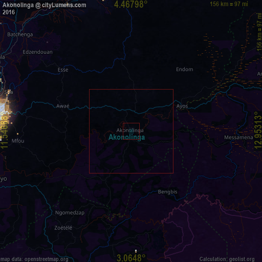
Akonolinga night lights from space
Night Light of Akonolinga (Centre) from space (Cameroon) Src. Average luminocity for 10x10km area is 0% and for 50x50km: 0%.
Analysis of Akonolinga night lights 2016
Square area 10x10 km:
 0%
0%90-99
0%80-89
0%70-79
0%60-69
0%50-59
0%40-49
0%30-39
0%20-29
0%10-19
0%0-9
100%Square area 50x50 km:
0%90-99
0%80-89
0%70-79
0%60-69
0%50-59
0%40-49
0%30-39
0%20-29
0%10-19
0%0-9
100%Clear (daylight) street map image can be seen on geolist.org.
Map coordinates:
4° 28' 4.7" North, 11° 32' 48.8" East
3° 46' 0" North, 12° 15' 0" East
3° 3' 53.3" North, 12° 57' 11.3" East
Some cities around Akonolinga sort by population:
• Yaoundé
82.1 km =51 mi,  277°
277°
• Mbalmayo
87.7 km =54.5 mi,  251°
251°
• Sangmélima
97.3 km =60.5 mi,  197°
197°
• Nkoteng
86.8 km =53.9 mi,  343°
343°
• Obala
91.1 km =56.6 mi,  299°
299°
• Mbandjok
85.3 km =53 mi,  332°
332°
• Ntui
102.2 km =63.5 mi,  318°
318°
• Okola
100.1 km =62.2 mi,  286°
286°
2235776 (p: 17,181)
Sources (retrieved 2019-11-25):
» Earth at Night: Flat Maps 2012, 2016