Curicó night lights from space
Night Light of Curicó (Maule Region) from space (Chile) Src. Average luminocity for 10x10km area is 46.6319% and for 50x50km: 5.7062%.
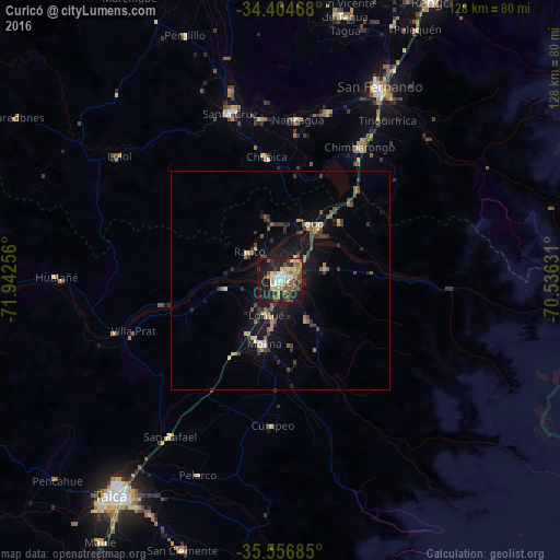
Analysis of Curicó night lights 2016
Square area 10x10 km:
 6.23%
6.23%90-99
7.69%80-89
7.88%70-79
4.95%60-69
6.96%50-59
11.36%40-49
4.76%30-39
5.49%20-29
15.57%10-19
27.84%0-9
1.28%Square area 50x50 km:
0.29%90-99
0.42%80-89
0.82%70-79
0.54%60-69
0.7%50-59
1.26%40-49
0.86%30-39
1.47%20-29
1.49%10-19
5.25%0-9
86.89%Clear (daylight) street map image can be seen on geolist.org.
Map coordinates:
34° 24' 16.8" South, 71° 56' 33.2" West
34° 58' 58" South, 71° 14' 21.9" West
35° 33' 24.7" South, 70° 32' 10.7" West
Some cities around Curicó sort by population:
• Talca
62.1 km =38.6 mi,  217°
217°
• Santa Cruz
39.9 km =24.8 mi,  343°
343°
• San Vicente de Tagua Tagua
62.3 km =38.7 mi,  13°
13°
• Molina
15.1 km =9.4 mi,  194°
194°
• San Vicente
62.7 km =39 mi, 13°
• Chimbarongo
35 km =21.7 mi,  30°
30°
• Rauco
9.5 km =5.9 mi,  311°
311°
• Teno
14.3 km =8.9 mi, 29°
3892870 (p: 102,438)
Sources (retrieved 2019-11-25):
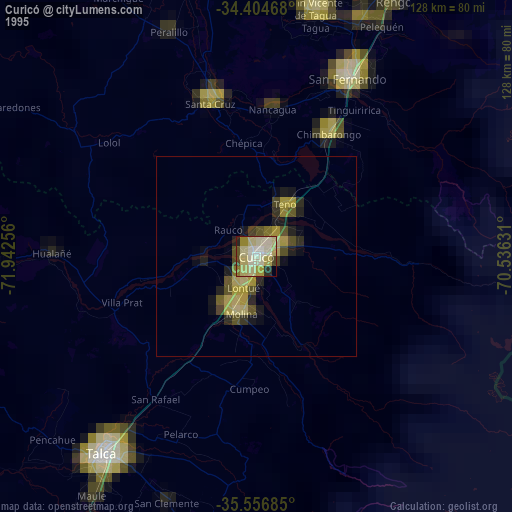
» NASA, Earths city lights 1995
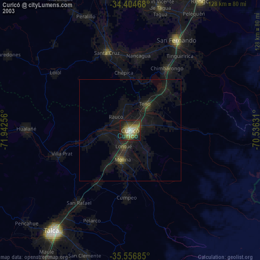
» NASA city lights 2003
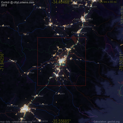
» Earth at Night: Flat Maps 2012, 2016