San Felipe night lights from space
Night Light of San Felipe (Valparaíso) from space (Chile) Src. Average luminocity for 10x10km area is 33.1311% and for 50x50km: 6.9524%.
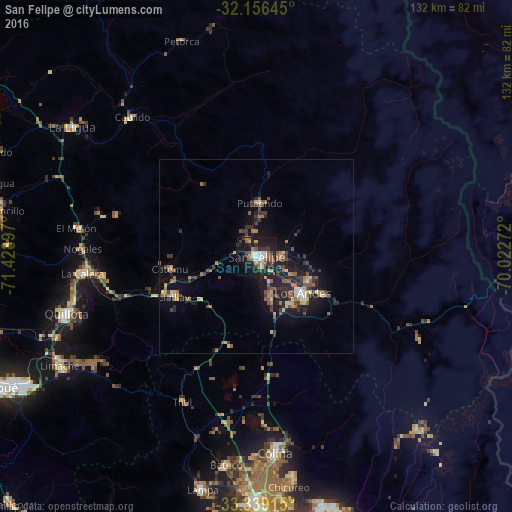
Analysis of San Felipe night lights 2016
Square area 10x10 km:
 4.37%
4.37%90-99
4.9%80-89
1.75%70-79
2.62%60-69
6.12%50-59
7.17%40-49
3.5%30-39
6.64%20-29
10.49%10-19
36.01%0-9
16.43%Square area 50x50 km:
0.4%90-99
0.48%80-89
0.82%70-79
0.69%60-69
1.24%50-59
1.56%40-49
1.02%30-39
1.74%20-29
1.98%10-19
6.2%0-9
83.87%Clear (daylight) street map image can be seen on geolist.org.
Map coordinates:
32° 9' 23.2" South, 71° 25' 44.3" West
32° 44' 59.1" South, 70° 43' 33" West
33° 20' 20.9" South, 70° 1' 21.8" West
Some cities around San Felipe sort by population:
• Quillota
51.1 km =31.8 mi,  253°
253°
• Los Andes
15.1 km =9.4 mi,  128°
128°
• Hacienda La Calera
46 km =28.6 mi,  265°
265°
• Limache
58.6 km =36.4 mi,  239°
239°
• Lampa
61.3 km =38.1 mi,  193°
193°
• La Ligua
57.7 km =35.9 mi,  304°
304°
• Chicureo Abajo
59.8 km =37.2 mi,  173°
173°
• Llaillay
23.8 km =14.8 mi, 244°
3872255 (p: 59,294)
Sources (retrieved 2019-11-25):
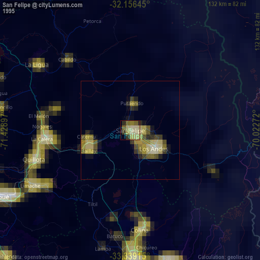
» NASA, Earths city lights 1995
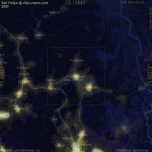
» NASA city lights 2003
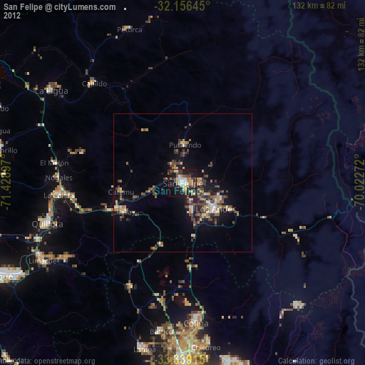
» Earth at Night: Flat Maps 2012, 2016