Quillota night lights from space
Night Light of Quillota (Valparaíso) from space (Chile) Src. Average luminocity for 10x10km area is 32.0238% and for 50x50km: 12.4479%.
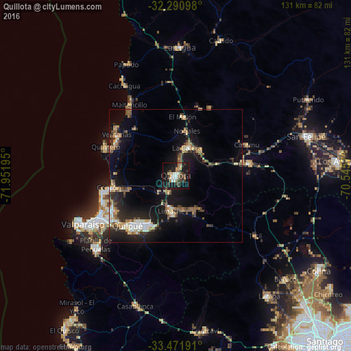

Analysis of Quillota night lights 2016
Square area 10x10 km:
 3.11%
3.11%90-99
5.86%80-89
3.11%70-79
2.75%60-69
5.31%50-59
4.58%40-49
4.58%30-39
5.31%20-29
7.51%10-19
43.22%0-9
14.65%Square area 50x50 km:
1.09%90-99
1.47%80-89
1.63%70-79
1.52%60-69
1.83%50-59
2.24%40-49
1.53%30-39
1.83%20-29
3.72%10-19
11.87%0-9
71.26%Clear (daylight) street map image can be seen on geolist.org.
Map coordinates:
32° 17' 27.5" South, 71° 57' 7" West
32° 53' 0.3" South, 71° 14' 55.8" West
33° 28' 18.9" South, 70° 32' 44.5" West
Some cities around Quillota sort by population:
• Viña del Mar
32.3 km =20.1 mi,  240°
240°
• Valparaíso
39.4 km =24.5 mi, 244°
• Quilpué
25.7 km =16 mi,  224°
224°
• Villa Alemana
21.1 km =13.1 mi,  213°
213°
• Hacienda La Calera
11.5 km =7.1 mi,  15°
15°
• Limache
14.9 km =9.3 mi,  186°
186°
• La Ligua
48 km =29.8 mi,  1°
1°
• Llaillay
27.7 km =17.2 mi,  80°
80°
3874119 (p: 67,779)
Sources (retrieved 2019-11-25):
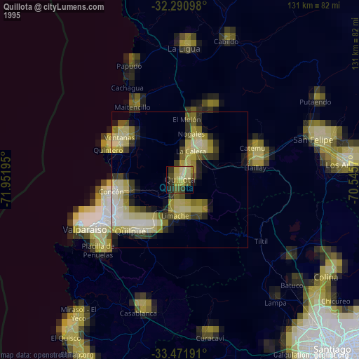
» NASA, Earths city lights 1995
» NASA city lights 2003
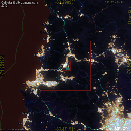
» Earth at Night: Flat Maps 2012, 2016