Chicureo Abajo night lights from space
Night Light of Chicureo Abajo (Santiago Metropolitan) from space (Chile) Src. Average luminocity for 10x10km area is 53.2308% and for 50x50km: 33.3853%.
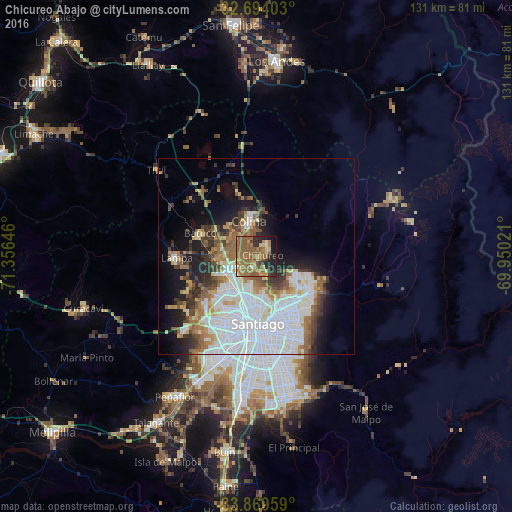
Analysis of Chicureo Abajo night lights 2016
Square area 10x10 km:
 0.52%
0.52%90-99
1.75%80-89
6.82%70-79
8.74%60-69
25.52%50-59
27.45%40-49
2.27%30-39
5.07%20-29
13.46%10-19
8.22%0-9
0.17%Square area 50x50 km:
11.29%90-99
7.09%80-89
2.34%70-79
2.86%60-69
4.46%50-59
4.65%40-49
2.96%30-39
3.64%20-29
4.48%10-19
8.87%0-9
47.36%Clear (daylight) street map image can be seen on geolist.org.
Map coordinates:
32° 41' 38.5" South, 71° 21' 23.3" West
33° 17' 1.6" South, 70° 39' 12" West
33° 52' 10.5" South, 69° 57' 0.8" West
Some cities around Chicureo Abajo sort by population:
• Santiago
19.3 km =12 mi,  178°
178°
• Puente Alto
37.2 km =23.1 mi,  168°
168°
• San Bernardo
34.6 km =21.5 mi,  187°
187°
• La Pintana
33.4 km =20.8 mi, 176°
• Lo Prado
19.1 km =11.9 mi,  200°
200°
• Peñaflor
41.4 km =25.7 mi,  210°
210°
• Lampa
20.7 km =12.9 mi,  269°
269°
• Villa Presidente Frei, Ñuñoa, Santiago, Chile
20.8 km =12.9 mi,  160°
160°
3895165 (p: 18,000)
Sources (retrieved 2019-11-25):
» Earth at Night: Flat Maps 2012, 2016