La Ligua night lights from space
Night Light of La Ligua (Valparaíso) from space (Chile) Src. Average luminocity for 10x10km area is 11.9908% and for 50x50km: 2.3268%.
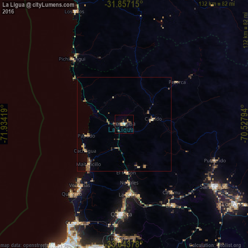
Analysis of La Ligua night lights 2016
Square area 10x10 km:
 0.73%
0.73%90-99
0.73%80-89
2.2%70-79
2.01%60-69
3.11%50-59
1.1%40-49
0.73%30-39
2.93%20-29
2.01%10-19
1.65%0-9
82.78%Square area 50x50 km:
0.03%90-99
0.04%80-89
0.55%70-79
0.33%60-69
0.46%50-59
0.64%40-49
0.33%30-39
0.58%20-29
0.16%10-19
0.23%0-9
96.65%Clear (daylight) street map image can be seen on geolist.org.
Map coordinates:
31° 51' 25.7" South, 71° 56' 3.1" West
32° 27' 8.7" South, 71° 13' 51.8" West
33° 2' 37.6" South, 70° 31' 40.6" West
Some cities around La Ligua sort by population:
• Viña del Mar
70.3 km =43.7 mi,  205°
205°
• Quilpué
69.1 km =42.9 mi,  196°
196°
• Villa Alemana
66.9 km =41.6 mi,  191°
191°
• Quillota
48 km =29.8 mi,  181°
181°
• San Felipe
57.7 km =35.9 mi,  124°
124°
• Hacienda La Calera
36.8 km =22.9 mi, 177°
• Limache
62.8 km =39 mi, 183°
• Llaillay
50.2 km =31.2 mi,  149°
149°
3885456 (p: 24,857)
Sources (retrieved 2019-11-25):
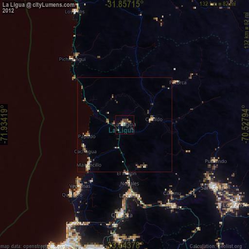
» Earth at Night: Flat Maps 2012, 2016