Quirihue night lights from space
Night Light of Quirihue (Ñuble) from space (Chile) Src. Average luminocity for 10x10km area is 4.1486% and for 50x50km: 0.3977%.
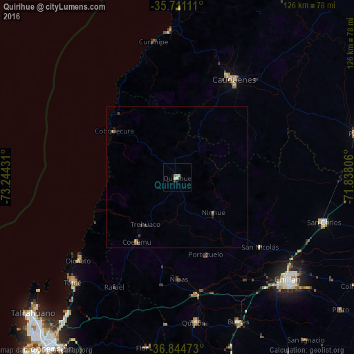
Analysis of Quirihue night lights 2016
Square area 10x10 km:
 0.52%
0.52%90-99
0.87%80-89
0.7%70-79
0.52%60-69
0.87%50-59
0%40-49
0.17%30-39
1.22%20-29
0%10-19
0.87%0-9
94.23%Square area 50x50 km:
0.02%90-99
0.03%80-89
0.06%70-79
0.05%60-69
0.08%50-59
0.1%40-49
0.06%30-39
0.16%20-29
0.06%10-19
0.06%0-9
99.33%Clear (daylight) street map image can be seen on geolist.org.
Map coordinates:
35° 42' 40" South, 73° 14' 39.5" West
36° 16' 47.9" South, 72° 32' 28.2" West
36° 50' 41" South, 71° 50' 17" West
Some cities around Quirihue sort by population:
• Talcahuano
71.4 km =44.4 mi,  226°
226°
• Chillán
53.4 km =33.2 mi,  132°
132°
• Tomé
52.8 km =32.8 mi,  224°
224°
• Penco
65.4 km =40.6 mi, 218°
• San Carlos
54.6 km =33.9 mi,  107°
107°
• Cauquenes
40 km =24.9 mi,  29°
29°
• Parral
65.9 km =40.9 mi,  76°
76°
• Bulnes
55.8 km =34.7 mi,  157°
157°
3873958 (p: 8,000)
Sources (retrieved 2019-11-25):
» Earth at Night: Flat Maps 2012, 2016