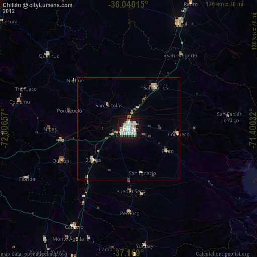
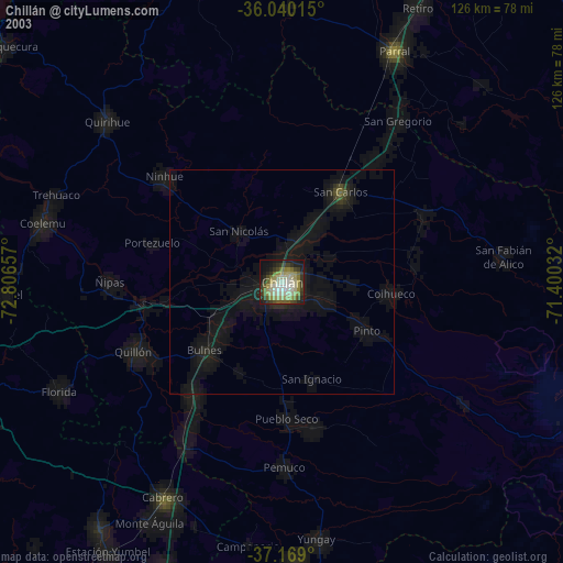
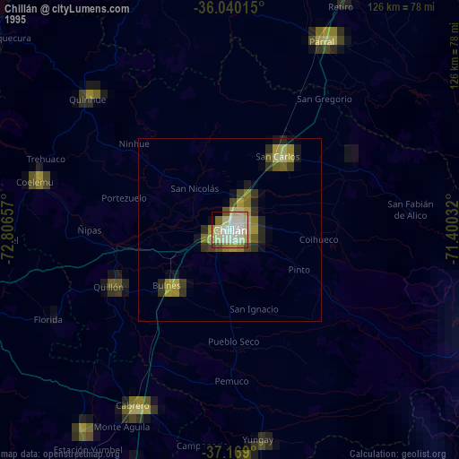
Chillán night lights from space
Night Light of Chillán (Ñuble) from space (Chile) Src. Average luminocity for 10x10km area is 55.815% and for 50x50km: 4.5584%.
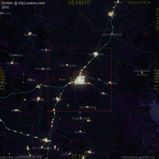
Analysis of Chillán night lights 2016
Square area 10x10 km:
 13.19%
90-99
15.02%80-89
8.79%70-79
6.41%60-69
6.04%50-59
2.38%40-49
2.2%30-39
4.4%20-29
22.34%10-19
18.13%0-9
1.1%Square area 50x50 km:
0.54%90-99
0.79%80-89
0.7%70-79
0.47%60-69
0.52%50-59
0.37%40-49
0.63%30-39
0.57%20-29
1.43%10-19
2.92%0-9
91.06%Clear (daylight) street map image can be seen on geolist.org.
Map coordinates:
36° 2' 24.5" South, 72° 48' 23.7" West
36° 36' 23.9" South, 72° 6' 12.4" West
37° 10' 8.4" South, 71° 24' 1.2" West
Some cities around Chillán sort by population:
• San Carlos
24 km =14.9 mi,  32°
32°
• Cauquenes
73.8 km =45.9 mi,  344°
344°
• Parral
57.2 km =35.5 mi, 25°
• Cabrero
54.6 km =33.9 mi,  209°
209°
• Bulnes
23 km =14.3 mi,  229°
229°
• Yumbel
68.1 km =42.3 mi,  216°
216°
• Quirihue
53.4 km =33.2 mi,  312°
312°
• Coihueco
24.5 km =15.2 mi,  95°
95°
3895088 (p: 150,396)
Sources (retrieved 2019-11-25):
» NASA, Earths city lights 1995
» NASA city lights 2003
» Earth at Night: Flat Maps 2012, 2016