Vavoua night lights from space
Night Light of Vavoua (Sassandra-Marahoué) from space (Ivory Coast) Src. Average luminocity for 10x10km area is 3.9654% and for 50x50km: 0.2903%.
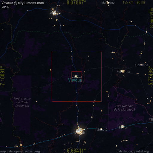
Analysis of Vavoua night lights 2016
Square area 10x10 km:
 0%
0%90-99
0%80-89
0%70-79
0.87%60-69
1.08%50-59
2.81%40-49
0.43%30-39
0%20-29
1.52%10-19
0.22%0-9
93.07%Square area 50x50 km:
0%90-99
0%80-89
0%70-79
0.03%60-69
0.06%50-59
0.13%40-49
0.14%30-39
0.07%20-29
0.11%10-19
0.06%0-9
99.41%Clear (daylight) street map image can be seen on geolist.org.
Map coordinates:
8° 4' 43.2" North, 7° 10' 51.3" West
7° 22' 55" North, 6° 28' 40" West
6° 41' 2.8" North, 5° 46' 28.8" West
Some cities around Vavoua sort by population:
• Daloa
56.2 km =34.9 mi,  176°
176°
• Bouaflé
91.9 km =57.1 mi,  118°
118°
• Sinfra
105.2 km =65.4 mi,  143°
143°
• Séguéla
67.9 km =42.2 mi,  341°
341°
• Issia
99.6 km =61.9 mi,  186°
186°
• Zuénoula
47.4 km =29.5 mi,  83°
83°
• Béoumi
104.1 km =64.7 mi,  71°
71°
• Mankono
81.7 km =50.8 mi,  22°
22°
2280045 (p: 31,250)
Sources (retrieved 2019-11-25):
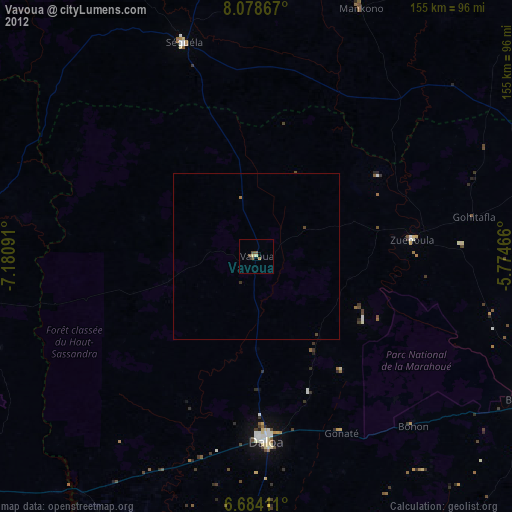
» Earth at Night: Flat Maps 2012, 2016