Sinfra night lights from space
Night Light of Sinfra (Zanzan) from space (Ivory Coast) Src. Average luminocity for 10x10km area is 6.961% and for 50x50km: 1.0146%.
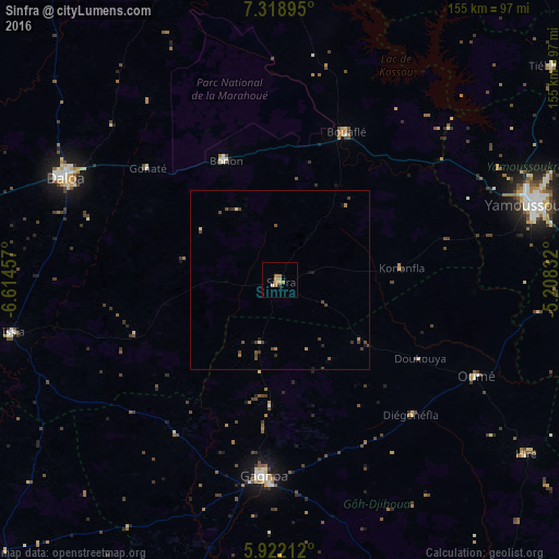
Analysis of Sinfra night lights 2016
Square area 10x10 km:
 0%
0%90-99
0.87%80-89
0.87%70-79
1.08%60-69
4.11%50-59
0.87%40-49
0%30-39
0.87%20-29
0%10-19
0.87%0-9
90.48%Square area 50x50 km:
0%90-99
0.07%80-89
0.1%70-79
0.09%60-69
0.29%50-59
0.2%40-49
0.45%30-39
0.29%20-29
0.13%10-19
0.19%0-9
98.18%Clear (daylight) street map image can be seen on geolist.org.
Map coordinates:
7° 19' 8.2" North, 6° 36' 52.5" West
6° 37' 15.7" North, 5° 54' 41.2" West
5° 55' 19.6" North, 5° 12' 30" West
Some cities around Sinfra sort by population:
• Daloa
66 km =41 mi,  295°
295°
• Yamoussoukro
73.5 km =45.7 mi,  72°
72°
• Gagnoa
54.6 km =33.9 mi,  184°
184°
• Bouaflé
45 km =28 mi,  24°
24°
• Oumé
60.6 km =37.7 mi,  115°
115°
• Issia
75.8 km =47.1 mi,  259°
259°
• Lakota
89.7 km =55.7 mi,  163°
163°
• Guibéroua
51.3 km =31.9 mi,  214°
214°
2281606 (p: 59,919)
Sources (retrieved 2019-11-25):
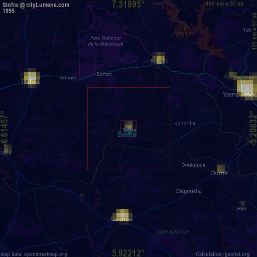
» NASA, Earths city lights 1995
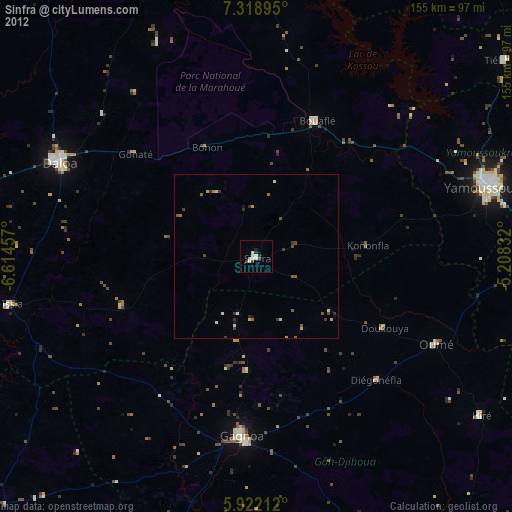
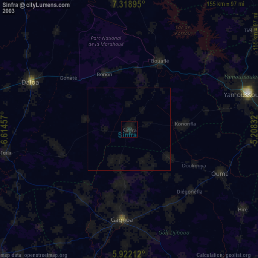
» NASA city lights 2003
» Earth at Night: Flat Maps 2012, 2016