Daloa night lights from space
Night Light of Daloa (Sassandra-Marahoué) from space (Ivory Coast) Src. Average luminocity for 10x10km area is 45.658% and for 50x50km: 3.0053%.
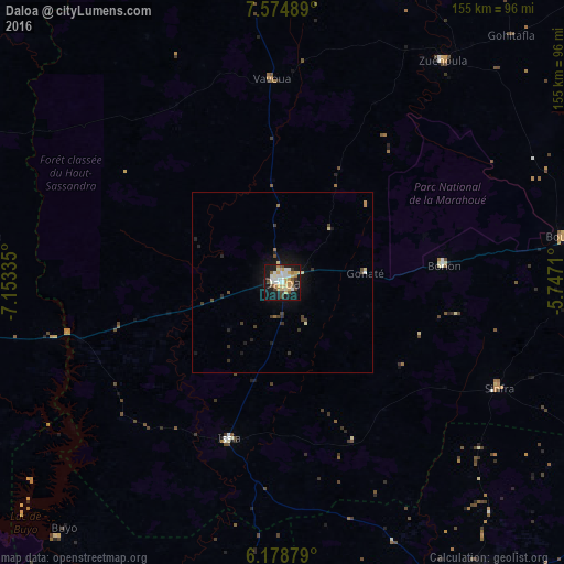
Analysis of Daloa night lights 2016
Square area 10x10 km:
 6.28%
6.28%90-99
11.04%80-89
8.01%70-79
8.87%60-69
4.76%50-59
3.46%40-49
4.76%30-39
3.9%20-29
3.03%10-19
41.34%0-9
4.55%Square area 50x50 km:
0.25%90-99
0.5%80-89
0.47%70-79
0.39%60-69
0.32%50-59
0.18%40-49
0.5%30-39
0.51%20-29
0.48%10-19
3.03%0-9
93.36%Clear (daylight) street map image can be seen on geolist.org.
Map coordinates:
7° 34' 29.6" North, 7° 9' 12.1" West
6° 52' 38.5" North, 6° 27' 0.8" West
6° 10' 43.6" North, 5° 44' 49.6" West
Some cities around Daloa sort by population:
• Gagnoa
99.6 km =61.9 mi,  146°
146°
• Bouaflé
78.9 km =49 mi,  80°
80°
• Sinfra
66 km =41 mi,  115°
115°
• Issia
45.4 km =28.2 mi,  199°
199°
• Duekoué
100.4 km =62.4 mi,  261°
261°
• Zuénoula
75.7 km =47 mi,  35°
35°
• Vavoua
56.2 km =34.9 mi,  356°
356°
• Guibéroua
77.4 km =48.1 mi,  156°
156°
2290486 (p: 215,652)
Sources (retrieved 2019-11-25):
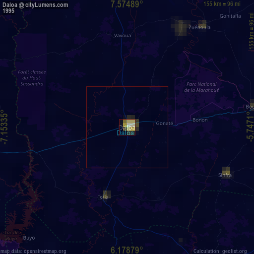
» NASA, Earths city lights 1995
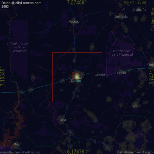
» NASA city lights 2003
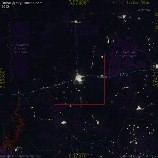
» Earth at Night: Flat Maps 2012, 2016