Zuénoula night lights from space
Night Light of Zuénoula (Sassandra-Marahoué) from space (Ivory Coast) Src. Average luminocity for 10x10km area is 7.474% and for 50x50km: 0.6999%.
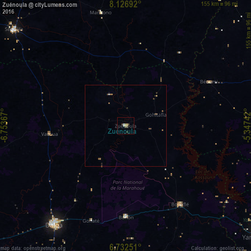
Analysis of Zuénoula night lights 2016
Square area 10x10 km:
 0.43%
0.43%90-99
1.3%80-89
0.22%70-79
3.25%60-69
0%50-59
0%40-49
3.46%30-39
0.87%20-29
0%10-19
0.87%0-9
89.61%Square area 50x50 km:
0.04%90-99
0.06%80-89
0.04%70-79
0.13%60-69
0.22%50-59
0.04%40-49
0.32%30-39
0.11%20-29
0.07%10-19
0.14%0-9
98.82%Clear (daylight) street map image can be seen on geolist.org.
Map coordinates:
8° 7' 36.9" North, 6° 45' 13.2" West
7° 25' 49" North, 6° 3' 1.9" West
6° 43' 57" North, 5° 20' 50.7" West
Some cities around Zuénoula sort by population:
• Daloa
75.7 km =47 mi,  215°
215°
• Bouaflé
59.4 km =36.9 mi,  145°
145°
• Sinfra
91.3 km =56.7 mi,  170°
170°
• Séguéla
90.5 km =56.2 mi,  310°
310°
• Vavoua
47.4 km =29.5 mi,  263°
263°
• Béoumi
58.4 km =36.3 mi,  62°
62°
• Mankono
71.5 km =44.4 mi,  347°
347°
• Sakassou
83.6 km =51.9 mi,  88°
88°
2279172 (p: 34,435)
Sources (retrieved 2019-11-25):
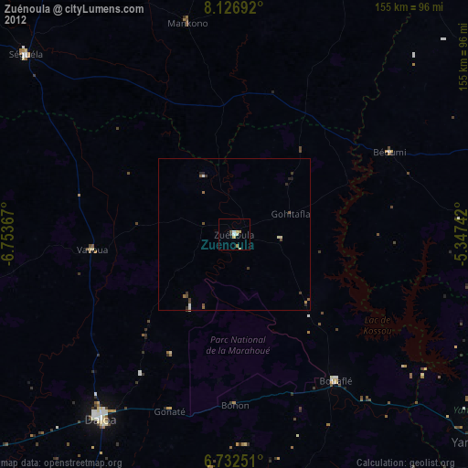
» Earth at Night: Flat Maps 2012, 2016