Bouaflé night lights from space
Night Light of Bouaflé (Sassandra-Marahoué) from space (Ivory Coast) Src. Average luminocity for 10x10km area is 10.2273% and for 50x50km: 0.8151%.
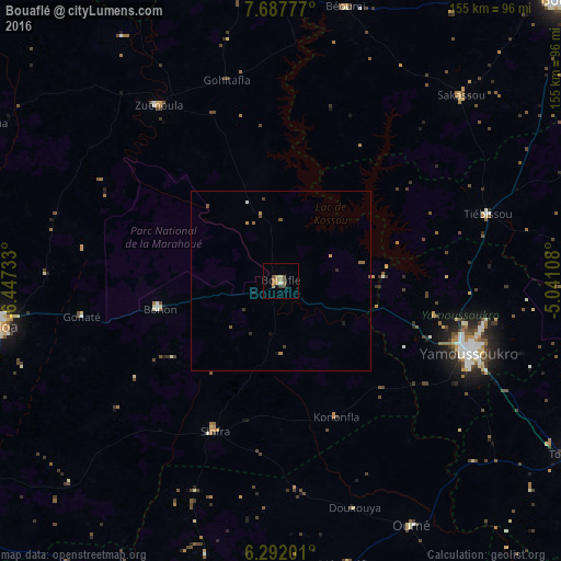
Analysis of Bouaflé night lights 2016
Square area 10x10 km:
 0%
0%90-99
0.87%80-89
0.87%70-79
3.46%60-69
3.25%50-59
0.87%40-49
2.38%30-39
1.3%20-29
0%10-19
1.08%0-9
85.93%Square area 50x50 km:
0.02%90-99
0.05%80-89
0.03%70-79
0.22%60-69
0.21%50-59
0.16%40-49
0.22%30-39
0.16%20-29
0.07%10-19
0.18%0-9
98.69%Clear (daylight) street map image can be seen on geolist.org.
Map coordinates:
7° 41' 16" North, 6° 26' 50.4" West
6° 59' 25.5" North, 5° 44' 39.1" West
6° 17' 31.2" North, 5° 2' 27.9" West
Some cities around Bouaflé sort by population:
• Daloa
78.9 km =49 mi,  260°
260°
• Yamoussoukro
54.9 km =34.1 mi,  110°
110°
• Sinfra
45 km =28 mi,  204°
204°
• Oumé
76.6 km =47.6 mi,  151°
151°
• Zuénoula
59.4 km =36.9 mi,  325°
325°
• Vavoua
91.9 km =57.1 mi,  298°
298°
• Béoumi
78.1 km =48.5 mi,  13°
13°
• Sakassou
71.7 km =44.6 mi,  43°
43°
2290964 (p: 60,962)
Sources (retrieved 2019-11-25):
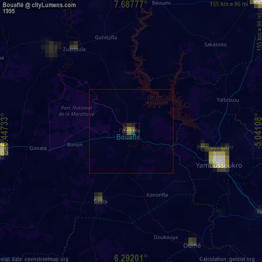
» NASA, Earths city lights 1995
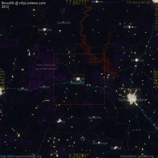
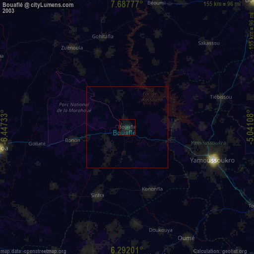
» NASA city lights 2003
» Earth at Night: Flat Maps 2012, 2016