Tiassalé night lights from space
Night Light of Tiassalé (Lagunes) from space (Ivory Coast) Src. Average luminocity for 10x10km area is 2.7149% and for 50x50km: 0.6397%.

Analysis of Tiassalé night lights 2016
Square area 10x10 km:
 0%
0%90-99
0%80-89
0.83%70-79
0%60-69
0.83%50-59
0%40-49
0.83%30-39
0.83%20-29
1.24%10-19
0.41%0-9
95.04%Square area 50x50 km:
0%90-99
0.1%80-89
0.1%70-79
0.06%60-69
0.15%50-59
0.09%40-49
0.3%30-39
0.06%20-29
0.12%10-19
0.09%0-9
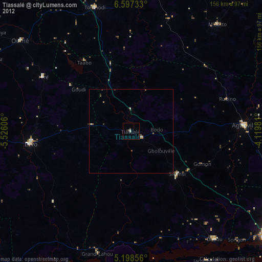
98.94%Clear (daylight) street map image can be seen on geolist.org.
Map coordinates:
6° 35' 50.4" North, 5° 31' 33.8" West
5° 53' 54.2" North, 4° 49' 22.5" West
5° 11' 54.8" North, 4° 7' 11.3" West
Some cities around Tiassalé sort by population:
• Divo
59.5 km =37 mi,  263°
263°
• Agboville
67.5 km =41.9 mi,  87°
87°
• Dabou
80.6 km =50.1 mi,  142°
142°
• Dimbokro
84.2 km =52.3 mi,  8°
8°
• Oumé
85 km =52.8 mi,  309°
309°
• Toumodi
76.4 km =47.5 mi,  343°
343°
• Lakota
95.2 km =59.2 mi,  266°
266°
• Grand-Lahou
74.7 km =46.4 mi,  195°
195°
2280761 (p: 35,090)
Sources (retrieved 2019-11-25):
» Earth at Night: Flat Maps 2012, 2016