Lakota night lights from space
Night Light of Lakota (Gôh-Djiboua) from space (Ivory Coast) Src. Average luminocity for 10x10km area is 8.0764% and for 50x50km: 0.8815%.
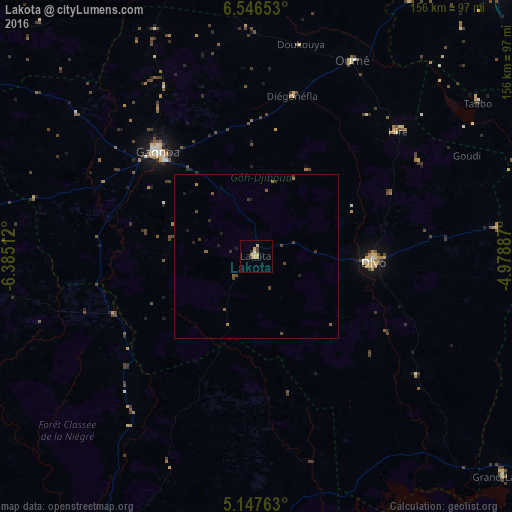
Analysis of Lakota night lights 2016
Square area 10x10 km:
 0%
0%90-99
0.83%80-89
2.48%70-79
3.1%60-69
0.21%50-59
0%40-49
1.65%30-39
0.83%20-29
0.83%10-19
0%0-9
90.08%Square area 50x50 km:
0%90-99
0.03%80-89
0.1%70-79
0.15%60-69
0.15%50-59
0.19%40-49
0.33%30-39
0.21%20-29
0.21%10-19
0.17%0-9
98.46%Clear (daylight) street map image can be seen on geolist.org.
Map coordinates:
6° 32' 47.5" North, 6° 23' 6.4" West
5° 50' 51.1" North, 5° 40' 55.2" West
5° 8' 51.5" North, 4° 58' 43.9" West
Some cities around Lakota sort by population:
• Divo
35.9 km =22.3 mi,  91°
91°
• Gagnoa
43.4 km =27 mi,  316°
316°
• Sinfra
89.7 km =55.7 mi,  343°
343°
• Oumé
66.3 km =41.2 mi,  26°
26°
• Toumodi
107.9 km =67 mi,  42°
42°
• Tiassalé
95.2 km =59.2 mi, 86°
• Guibéroua
69.4 km =43.1 mi,  308°
308°
• Grand-Lahou
100.2 km =62.3 mi,  131°
131°
2285449 (p: 38,055)
Sources (retrieved 2019-11-25):
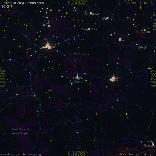
» Earth at Night: Flat Maps 2012, 2016