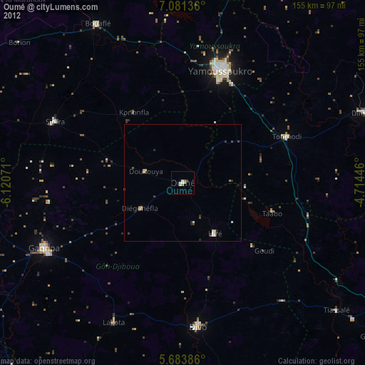
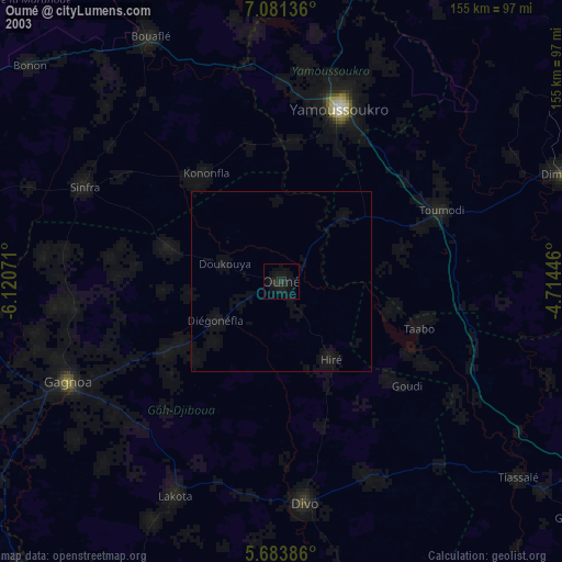
Oumé night lights from space
Night Light of Oumé (Gôh-Djiboua) from space (Ivory Coast) Src. Average luminocity for 10x10km area is 6.2273% and for 50x50km: 1.1539%.
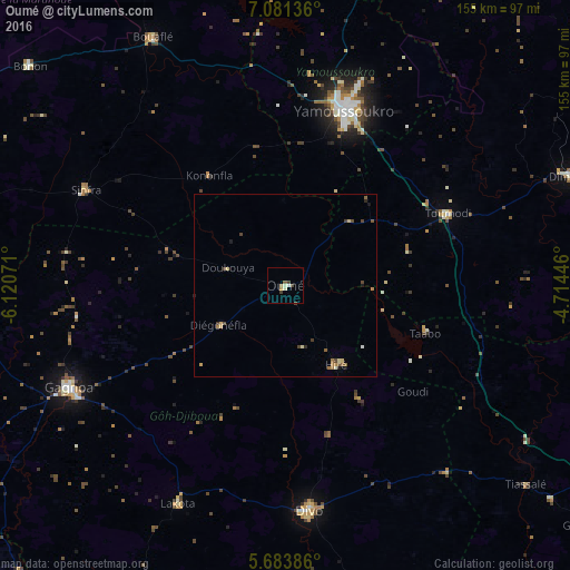

Analysis of Oumé night lights 2016
Square area 10x10 km:
 0%
0%90-99
1.73%80-89
1.73%70-79
0.87%60-69
0%50-59
0.87%40-49
1.3%30-39
1.73%20-29
0%10-19
0%0-9
91.77%Square area 50x50 km:
0%90-99
0.16%80-89
0.26%70-79
0.11%60-69
0.22%50-59
0.22%40-49
0.37%30-39
0.16%20-29
0.1%10-19
0.17%0-9
98.22%Clear (daylight) street map image can be seen on geolist.org.
Map coordinates:
7° 4' 52.9" North, 6° 7' 14.6" West
6° 22' 59.1" North, 5° 25' 3.3" West
5° 41' 1.9" North, 4° 42' 52.1" West
Some cities around Oumé sort by population:
• Yamoussoukro
51.1 km =31.8 mi,  17°
17°
• Divo
61 km =37.9 mi,  173°
173°
• Gagnoa
65.2 km =40.5 mi,  244°
244°
• Dimbokro
84 km =52.2 mi,  69°
69°
• Bouaflé
76.6 km =47.6 mi,  331°
331°
• Sinfra
60.6 km =37.7 mi,  295°
295°
• Toumodi
48.3 km =30 mi, 66°
• Lakota
66.3 km =41.2 mi,  206°
206°
2282827 (p: 52,070)
Sources (retrieved 2019-11-25):
» NASA, Earths city lights 1995
» NASA city lights 2003
» Earth at Night: Flat Maps 2012, 2016