Dabou night lights from space
Night Light of Dabou (Lagunes) from space (Ivory Coast) Src. Average luminocity for 10x10km area is 15.7004% and for 50x50km: 2.1999%.
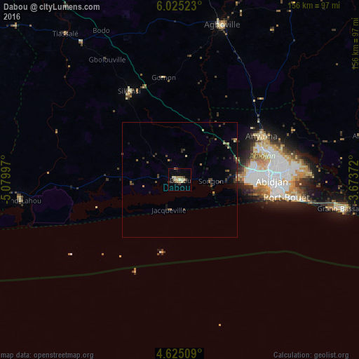
Analysis of Dabou night lights 2016
Square area 10x10 km:
 0%
0%90-99
3.31%80-89
3.51%70-79
0.62%60-69
3.1%50-59
1.65%40-49
3.31%30-39
2.69%20-29
1.65%10-19
2.48%0-9
77.69%Square area 50x50 km:
0%90-99
0.23%80-89
0.31%70-79
0.09%60-69
0.32%50-59
0.31%40-49
0.69%30-39
0.65%20-29
0.5%10-19
1.09%0-9
95.81%Clear (daylight) street map image can be seen on geolist.org.
Map coordinates:
6° 1' 30.8" North, 5° 4' 47.9" West
5° 19' 32" North, 4° 22' 36.7" West
4° 37' 30.3" North, 3° 40' 25.4" West
Some cities around Dabou sort by population:
• Abidjan
41.7 km =25.9 mi,  85°
85°
• Abobo
41.2 km =25.6 mi,  75°
75°
• Anyama
40.6 km =25.2 mi,  62°
62°
• Agboville
69.4 km =43.1 mi,  15°
15°
• Grand-Bassam
71.8 km =44.6 mi,  100°
100°
• Bingerville
54.5 km =33.9 mi, 86°
• Tiassalé
80.6 km =50.1 mi,  322°
322°
• Grand-Lahou
69.9 km =43.4 mi,  263°
263°
2290582 (p: 69,661)
Sources (retrieved 2019-11-25):
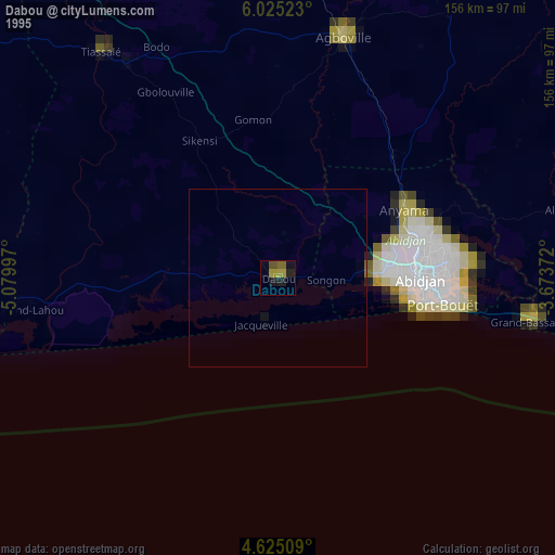
» NASA, Earths city lights 1995
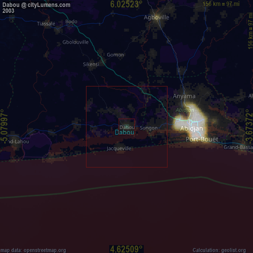
» NASA city lights 2003
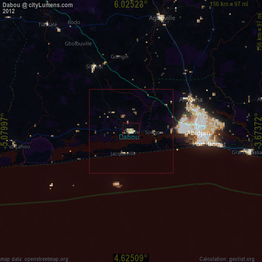
» Earth at Night: Flat Maps 2012, 2016