Grand-Lahou night lights from space
Night Light of Grand-Lahou (Lagunes) from space (Ivory Coast) Src. Average luminocity for 10x10km area is 7.6426% and for 50x50km: 0.4432%.
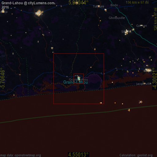
Analysis of Grand-Lahou night lights 2016
Square area 10x10 km:
 0%
0%90-99
1.65%80-89
1.24%70-79
0.41%60-69
0%50-59
0.83%40-49
4.13%30-39
2.48%20-29
1.65%10-19
0.62%0-9
86.98%Square area 50x50 km:
0.03%90-99
0.08%80-89
0.05%70-79
0.05%60-69
0.03%50-59
0.03%40-49
0.21%30-39
0.1%20-29
0.07%10-19
0.09%0-9
99.26%Clear (daylight) street map image can be seen on geolist.org.
Map coordinates:
5° 57' 1.6" North, 5° 42' 23.3" West
5° 15' 2.4" North, 5° 0' 12" West
4° 33' 0.5" North, 4° 18' 0.8" West
Some cities around Grand-Lahou sort by population:
• Abidjan
111.5 km =69.3 mi,  84°
84°
• Abobo
110.9 km =68.9 mi, 80°
• Divo
76.1 km =47.3 mi,  329°
329°
• Anyama
108.8 km =67.6 mi, 75°
• Agboville
115.4 km =71.7 mi,  49°
49°
• Dabou
69.9 km =43.4 mi, 83°
• Lakota
100.2 km =62.3 mi,  311°
311°
• Tiassalé
74.7 km =46.4 mi,  15°
15°
2288105 (p: 10,273)
Sources (retrieved 2019-11-25):
» Earth at Night: Flat Maps 2012, 2016