Divo night lights from space
Night Light of Divo (Gôh-Djiboua) from space (Ivory Coast) Src. Average luminocity for 10x10km area is 25.4814% and for 50x50km: 1.5091%.
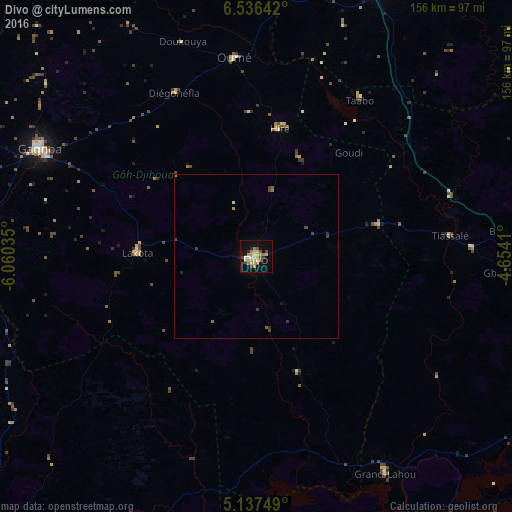
Analysis of Divo night lights 2016
Square area 10x10 km:
 1.65%
1.65%90-99
1.65%80-89
5.79%70-79
7.23%60-69
4.96%50-59
1.65%40-49
3.72%30-39
1.65%20-29
1.45%10-19
15.7%0-9
54.55%Square area 50x50 km:
0.07%90-99
0.1%80-89
0.24%70-79
0.33%60-69
0.27%50-59
0.17%40-49
0.3%30-39
0.26%20-29
0.17%10-19
0.7%0-9
97.38%Clear (daylight) street map image can be seen on geolist.org.
Map coordinates:
6° 32' 11.1" North, 6° 3' 37.3" West
5° 50' 14.6" North, 5° 21' 26" West
5° 8' 15" North, 4° 39' 14.8" West
Some cities around Divo sort by population:
• Gagnoa
73.3 km =45.5 mi,  296°
296°
• Sinfra
106.5 km =66.2 mi,  324°
324°
• Oumé
61 km =37.9 mi,  353°
353°
• Toumodi
88.5 km =55 mi,  25°
25°
• Lakota
35.9 km =22.3 mi,  271°
271°
• Tiassalé
59.5 km =37 mi,  83°
83°
• Guibéroua
100.5 km =62.4 mi, 296°
• Grand-Lahou
76.1 km =47.3 mi,  149°
149°
2289887 (p: 127,867)
Sources (retrieved 2019-11-25):
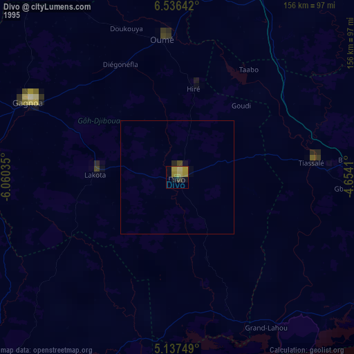
» NASA, Earths city lights 1995
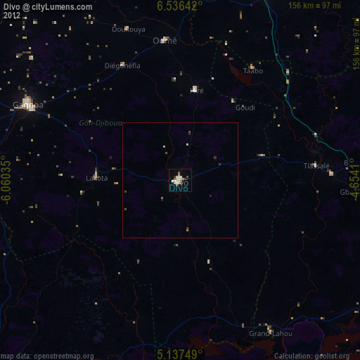
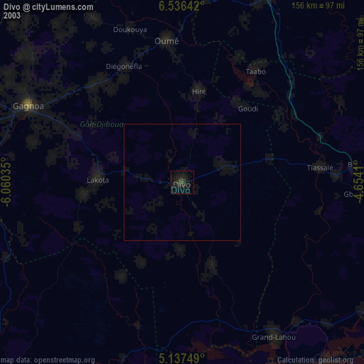
» NASA city lights 2003
» Earth at Night: Flat Maps 2012, 2016