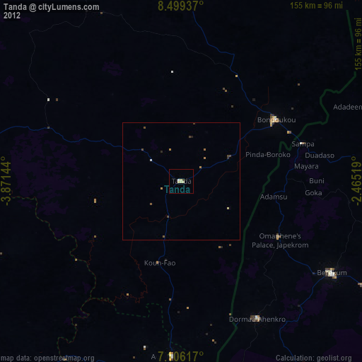
Tanda night lights from space
Night Light of Tanda (Zanzan) from space (Ivory Coast) Src. Average luminocity for 10x10km area is 3.3347% and for 50x50km: 0.3875%.
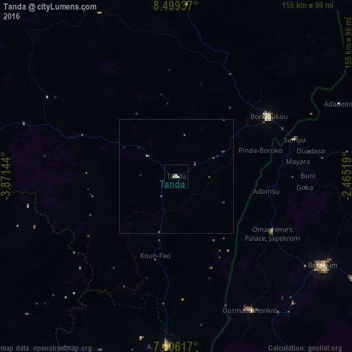
Analysis of Tanda night lights 2016
Square area 10x10 km:
 0%
0%90-99
0.62%80-89
0.21%70-79
2.27%60-69
0.21%50-59
0%40-49
0.21%30-39
0.62%20-29
0%10-19
0%0-9
95.87%Square area 50x50 km:
0%90-99
0.03%80-89
0.04%70-79
0.09%60-69
0.01%50-59
0.04%40-49
0.26%30-39
0.07%20-29
0.17%10-19
0.07%0-9
99.23%Clear (daylight) street map image can be seen on geolist.org.
Map coordinates:
8° 29' 57.7" North, 3° 52' 17.2" West
7° 48' 12.1" North, 3° 10' 6" West
7° 6' 22.2" North, 2° 27' 54.7" West
Some cities around Tanda sort by population:
• Abengourou
124.7 km =77.5 mi,  196°
196°
• Japekrom, GH
49.2 km =30.6 mi,  120°
120°
• Sunyani, GH
106.1 km =65.9 mi, 119°
• Berekum, GH
75.2 km =46.7 mi, 121°
• Bondoukou
48.4 km =30.1 mi,  57°
57°
• Agnibilékrou
74.8 km =46.5 mi,  183°
183°
• Daoukro
120.5 km =74.9 mi,  226°
226°
• Wenchi, GH
117.4 km =72.9 mi,  93°
93°
2280995 (p: 20,161)
Sources (retrieved 2019-11-25):
» Earth at Night: Flat Maps 2012, 2016