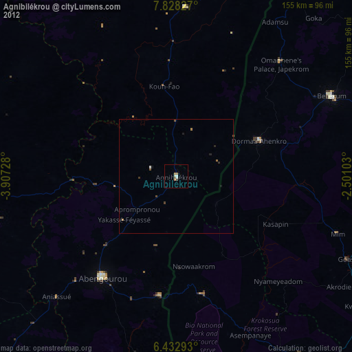
Agnibilékrou night lights from space
Night Light of Agnibilékrou (Comoé) from space (Ivory Coast) Src. Average luminocity for 10x10km area is 11.5195% and for 50x50km: 0.931%.
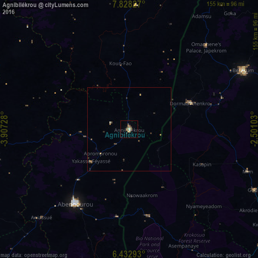
Analysis of Agnibilékrou night lights 2016
Square area 10x10 km:
 0.43%
0.43%90-99
1.3%80-89
1.73%70-79
1.73%60-69
1.3%50-59
4.76%40-49
1.08%30-39
1.52%20-29
1.52%10-19
0.87%0-9
83.77%Square area 50x50 km:
0.02%90-99
0.09%80-89
0.09%70-79
0.17%60-69
0.16%50-59
0.25%40-49
0.18%30-39
0.23%20-29
0.17%10-19
0.11%0-9
98.52%Clear (daylight) street map image can be seen on geolist.org.
Map coordinates:
7° 49' 41.8" North, 3° 54' 26.2" West
7° 7' 52.1" North, 3° 12' 14.9" West
6° 25' 58.5" North, 2° 30' 3.7" West
Some cities around Agnibilékrou sort by population:
• Abengourou
55.1 km =34.2 mi,  215°
215°
• Japekrom, GH
67.7 km =42.1 mi,  43°
43°
• Sunyani, GH
99.5 km =61.8 mi,  76°
76°
• Berekum, GH
77.2 km =48 mi,  62°
62°
• Bondoukou
110.5 km =68.7 mi,  23°
23°
• Daoukro
84.1 km =52.3 mi,  264°
264°
• Arrah
98.6 km =61.3 mi,  238°
238°
• Tanda
74.8 km =46.5 mi,  3°
3°
2293260 (p: 43,061)
Sources (retrieved 2019-11-25):
» Earth at Night: Flat Maps 2012, 2016